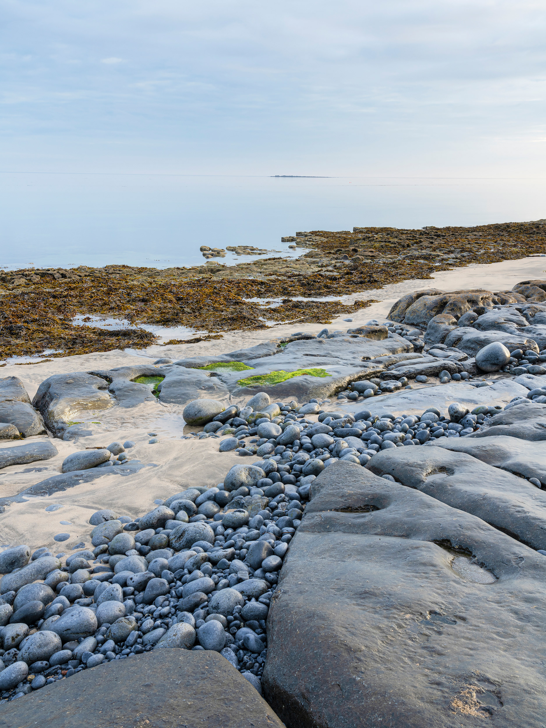
Doolin
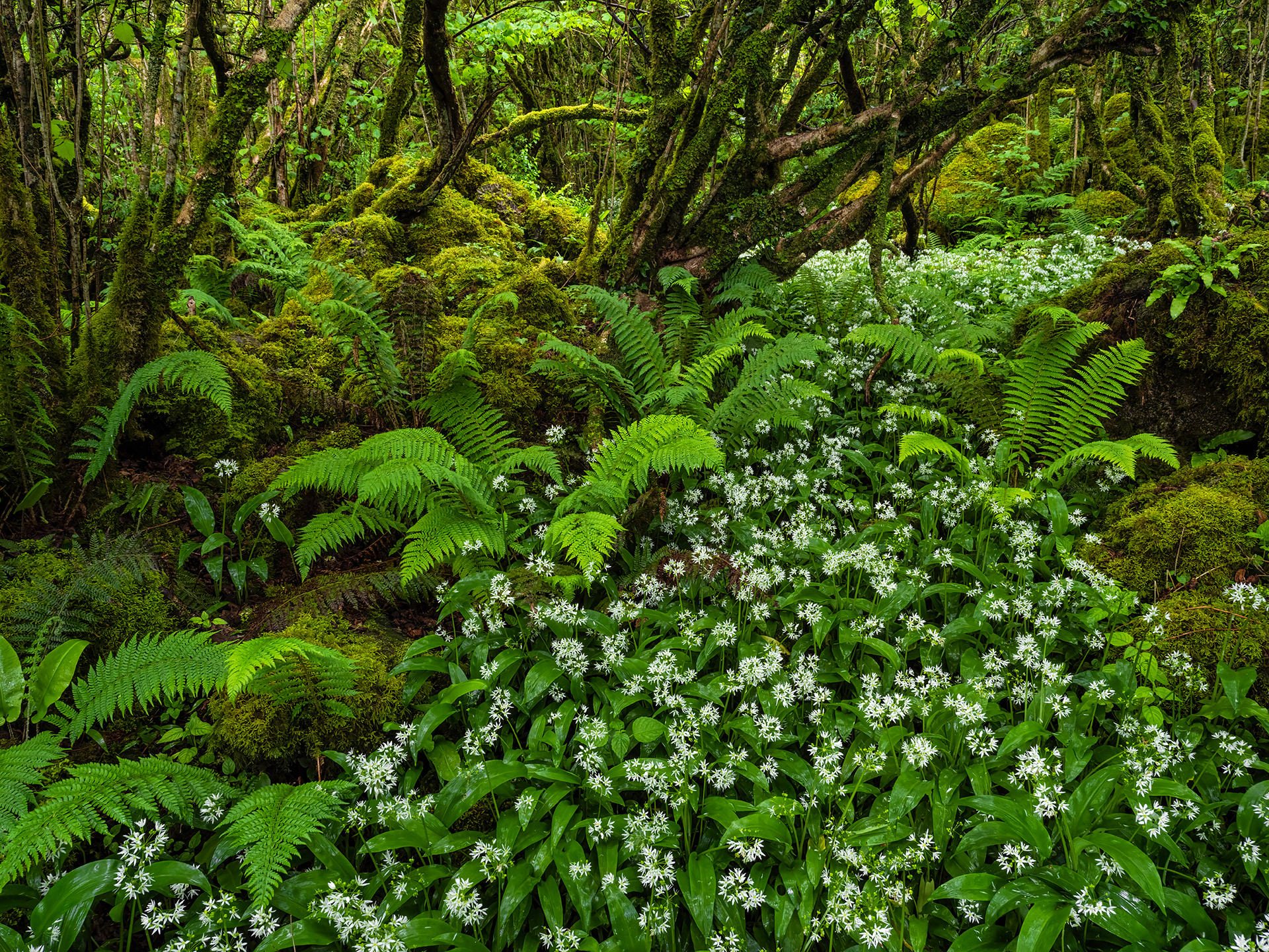
Wild garlic
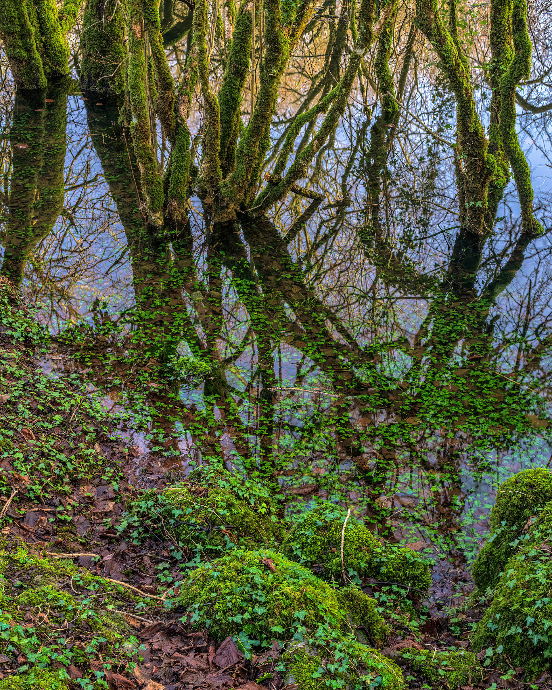
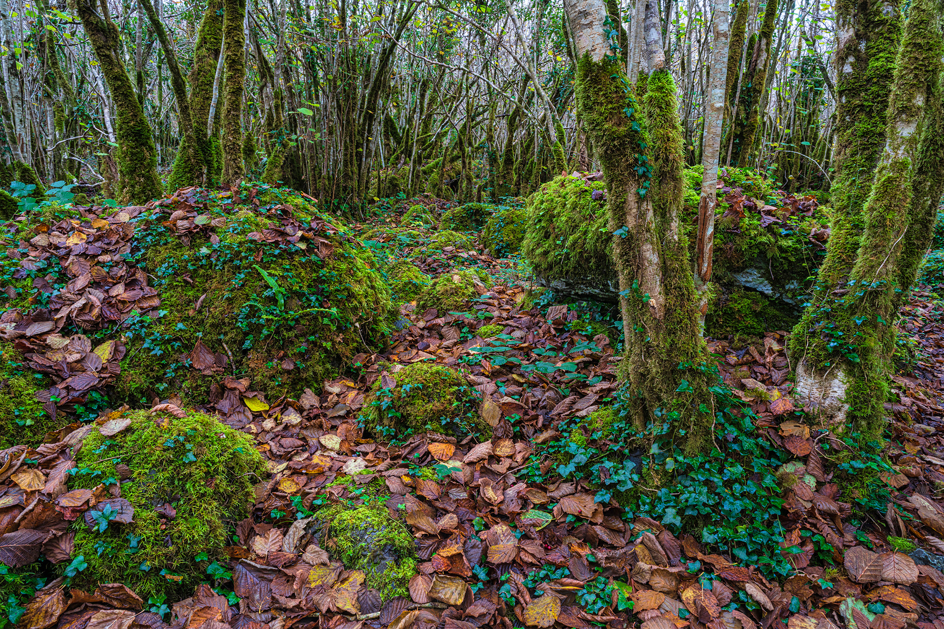
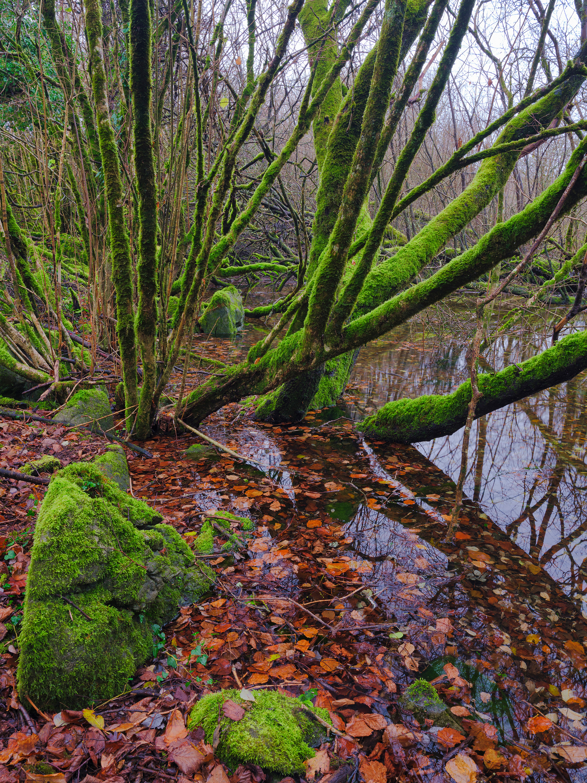
Flooded hazel forest
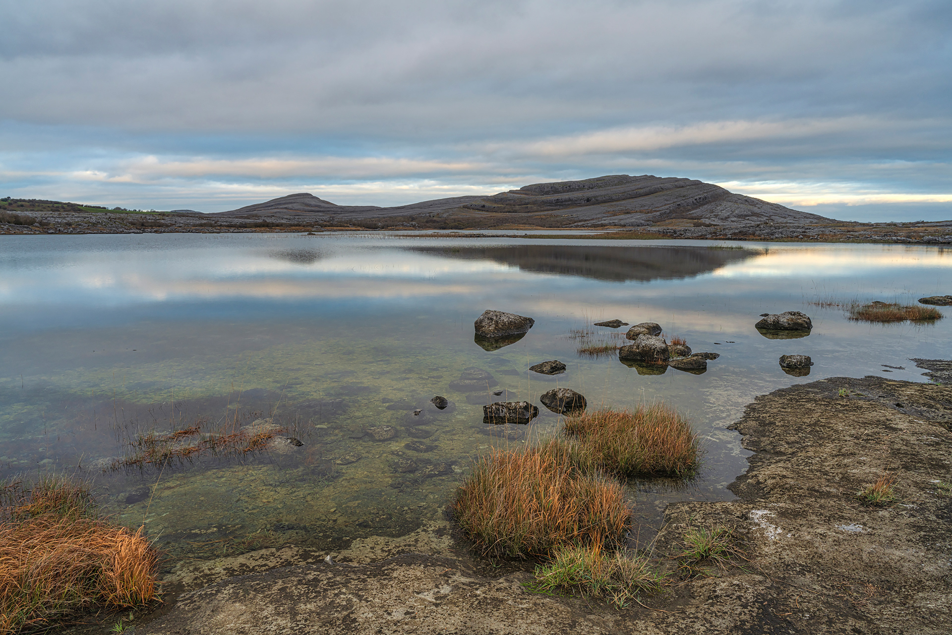
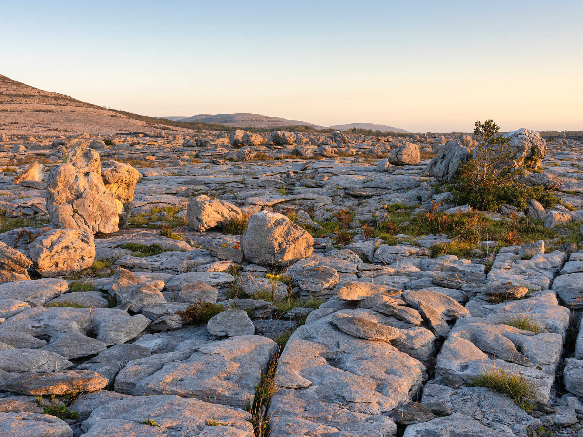
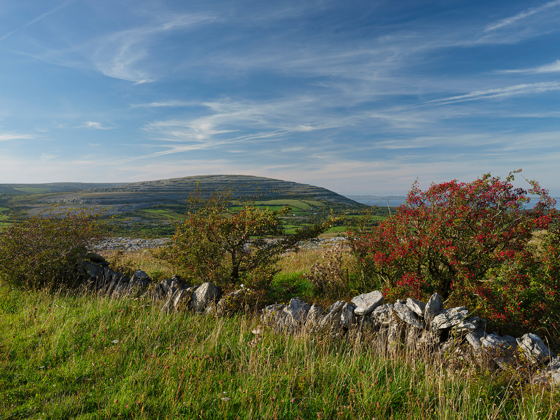
Mullagh More
Lough Bunny
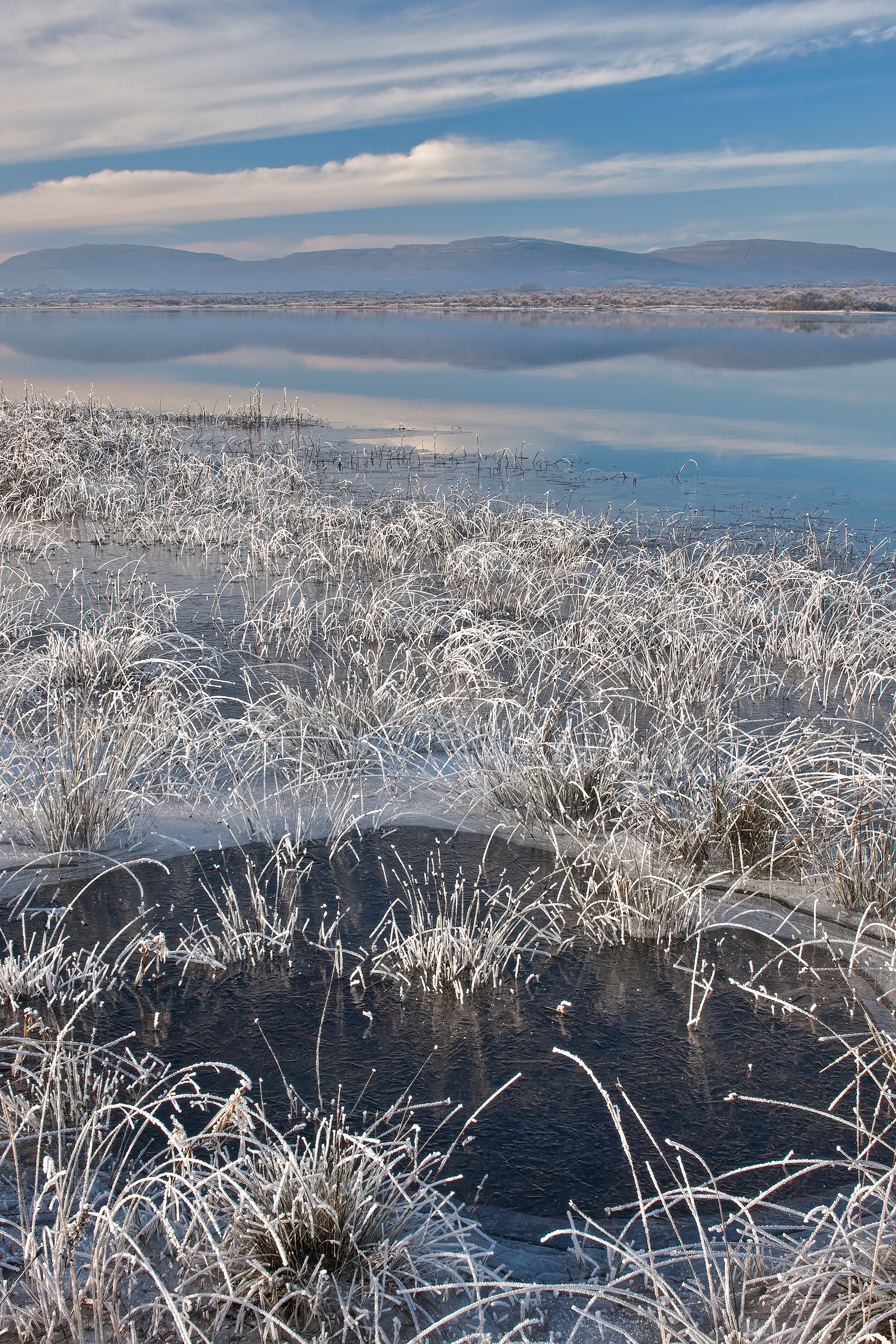
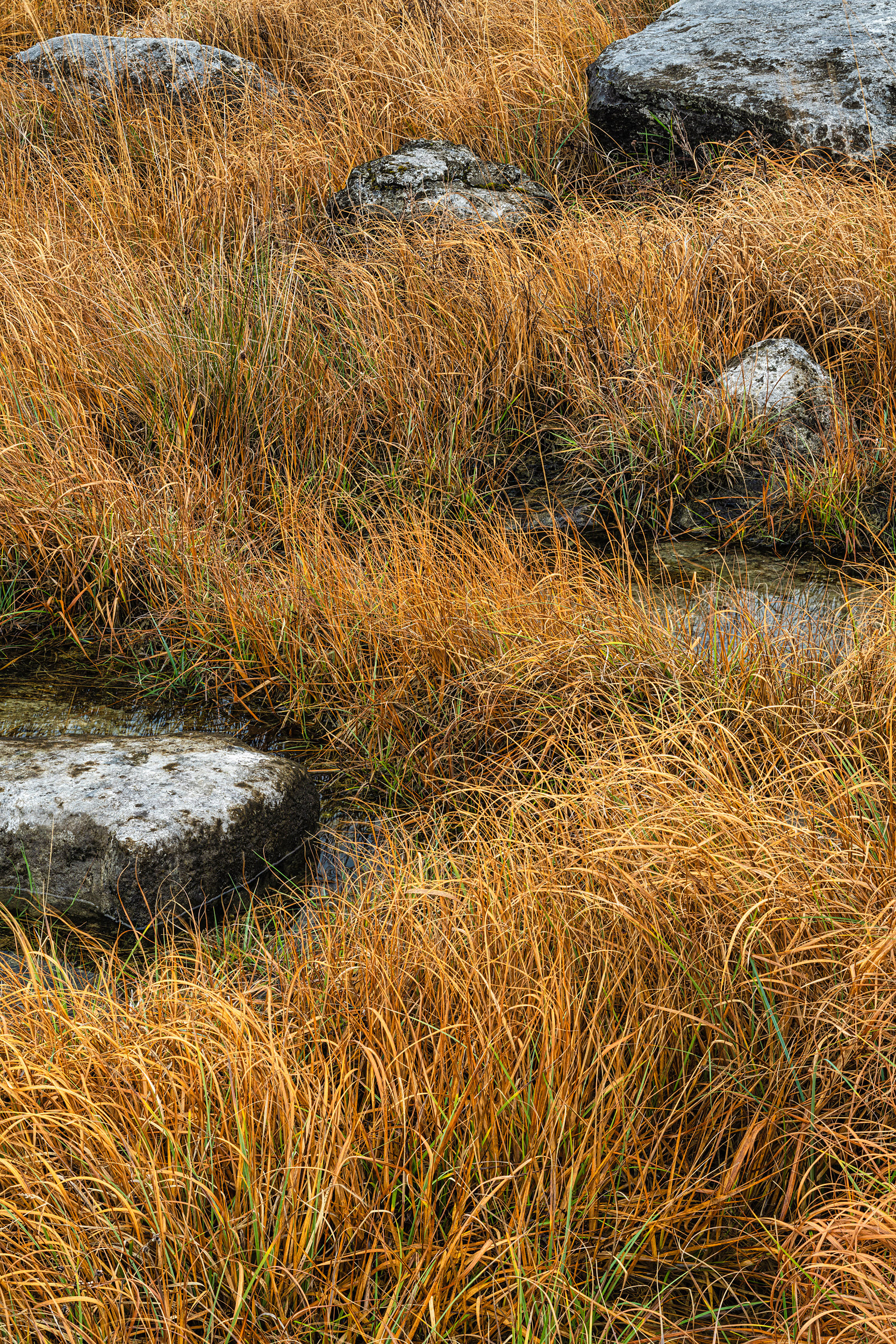
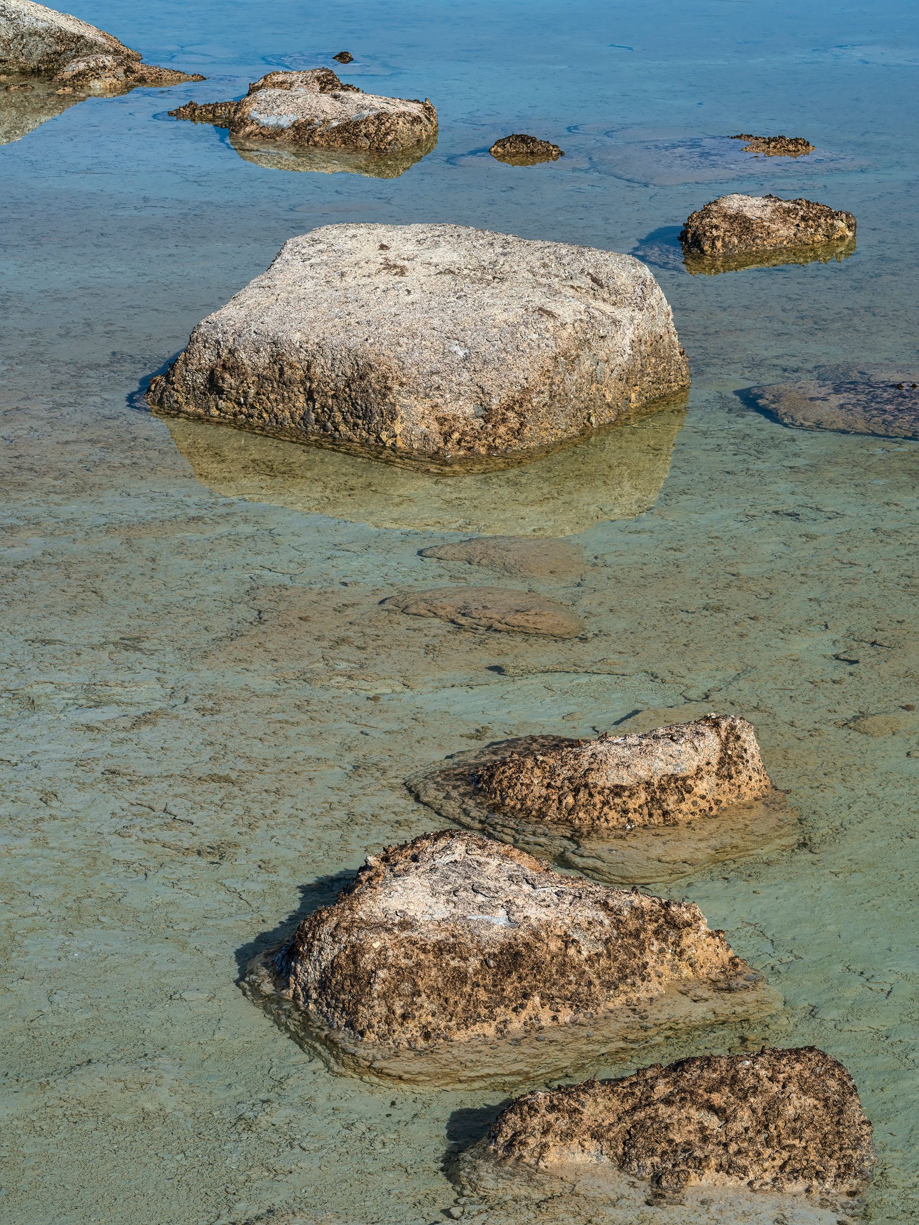
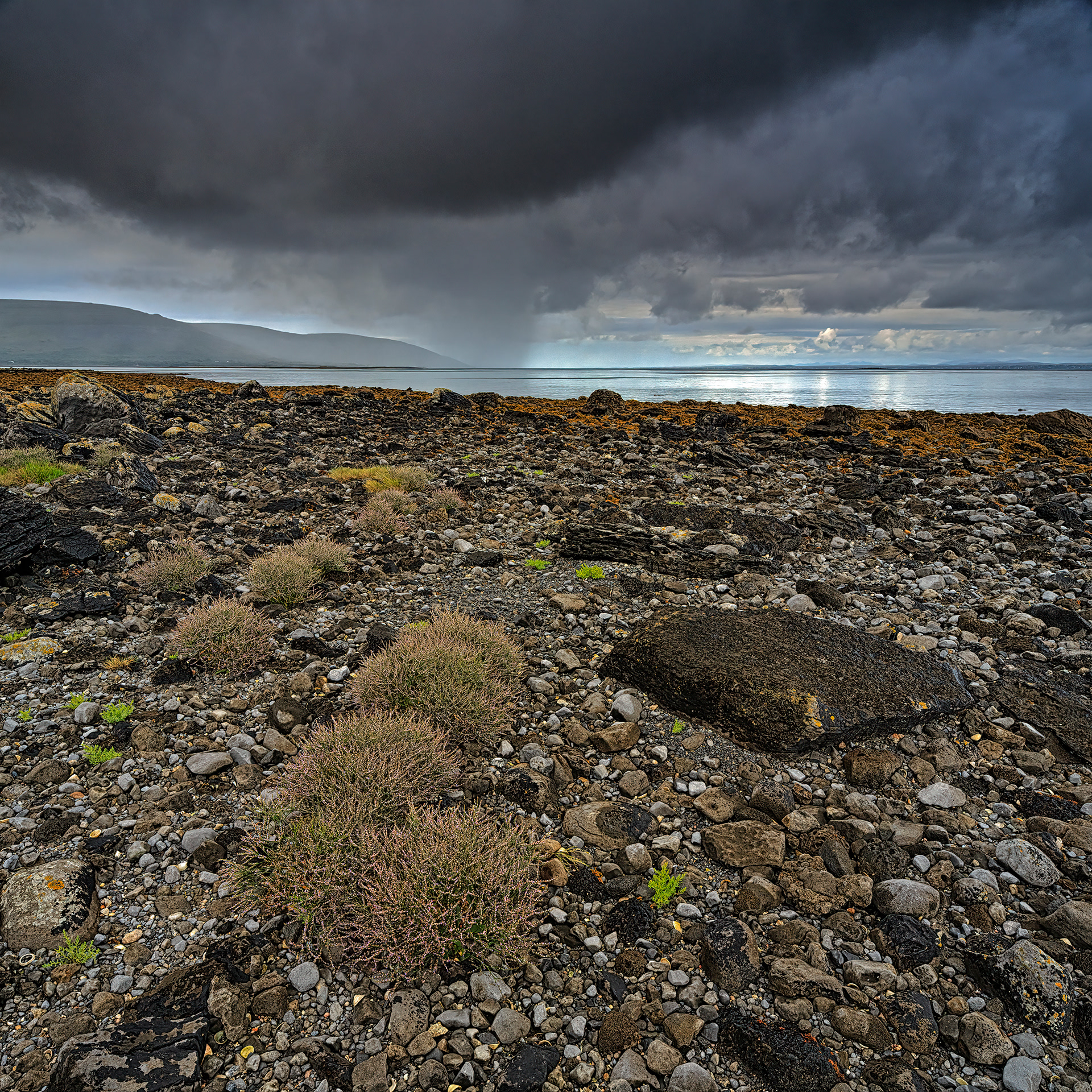
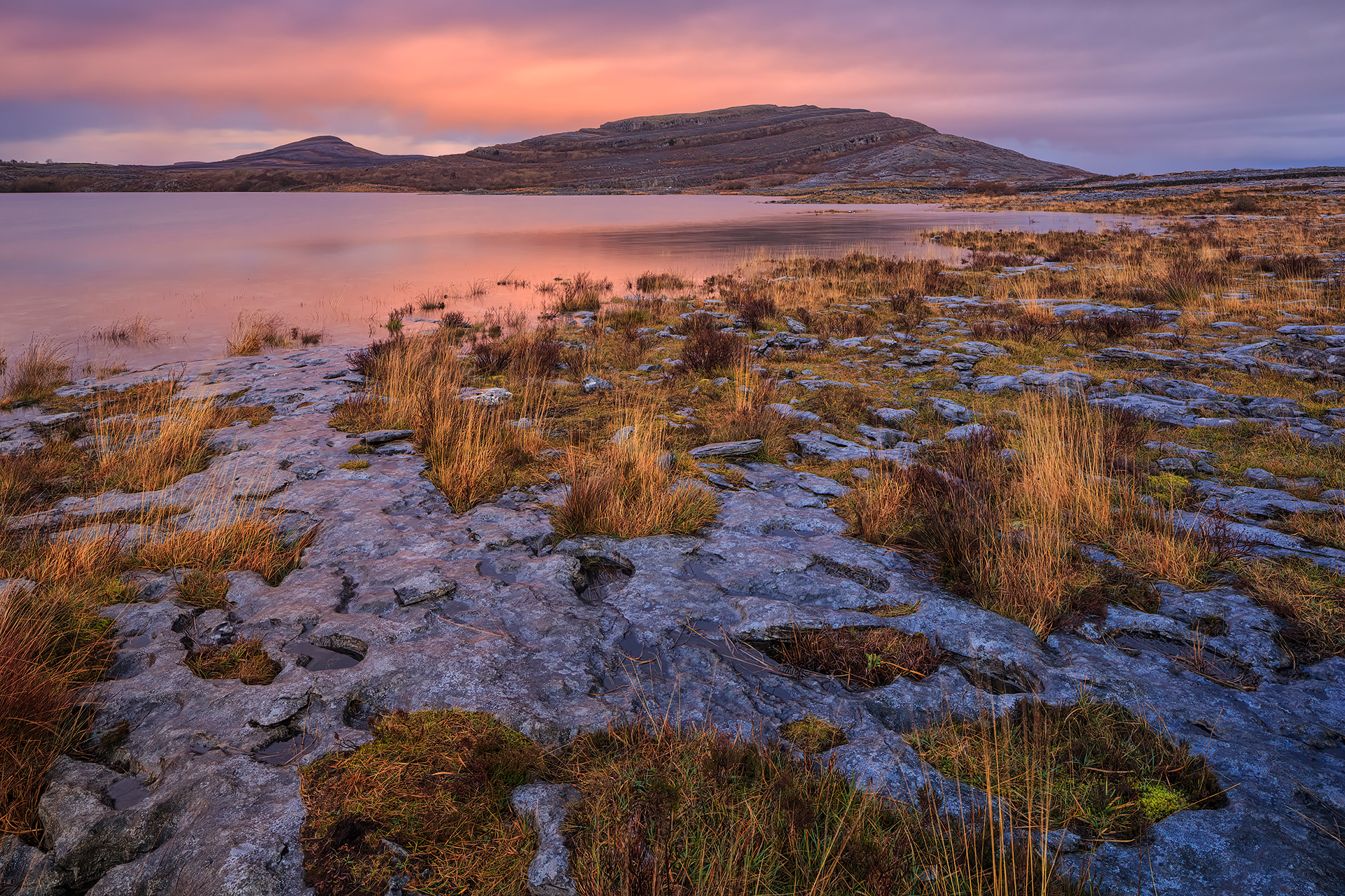
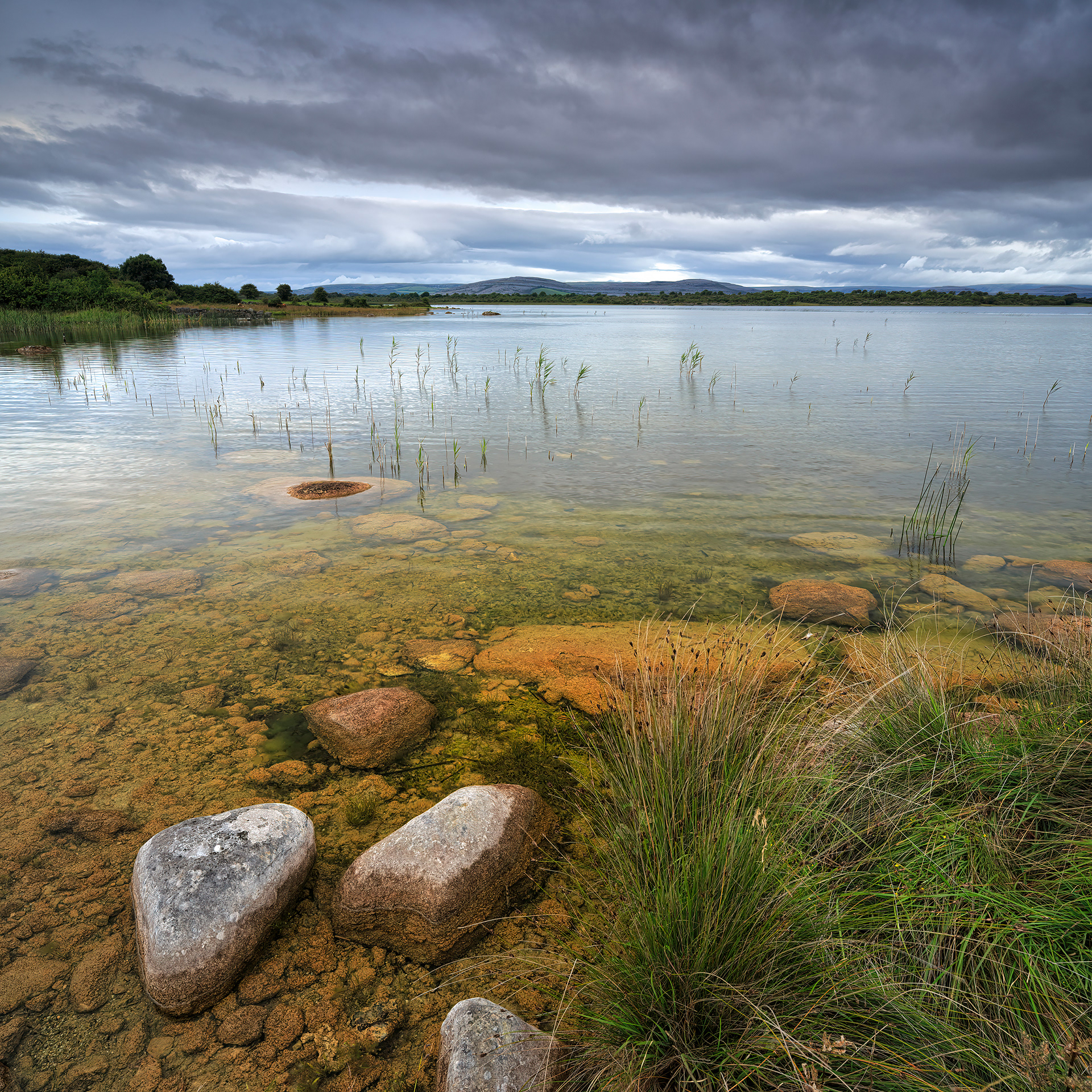
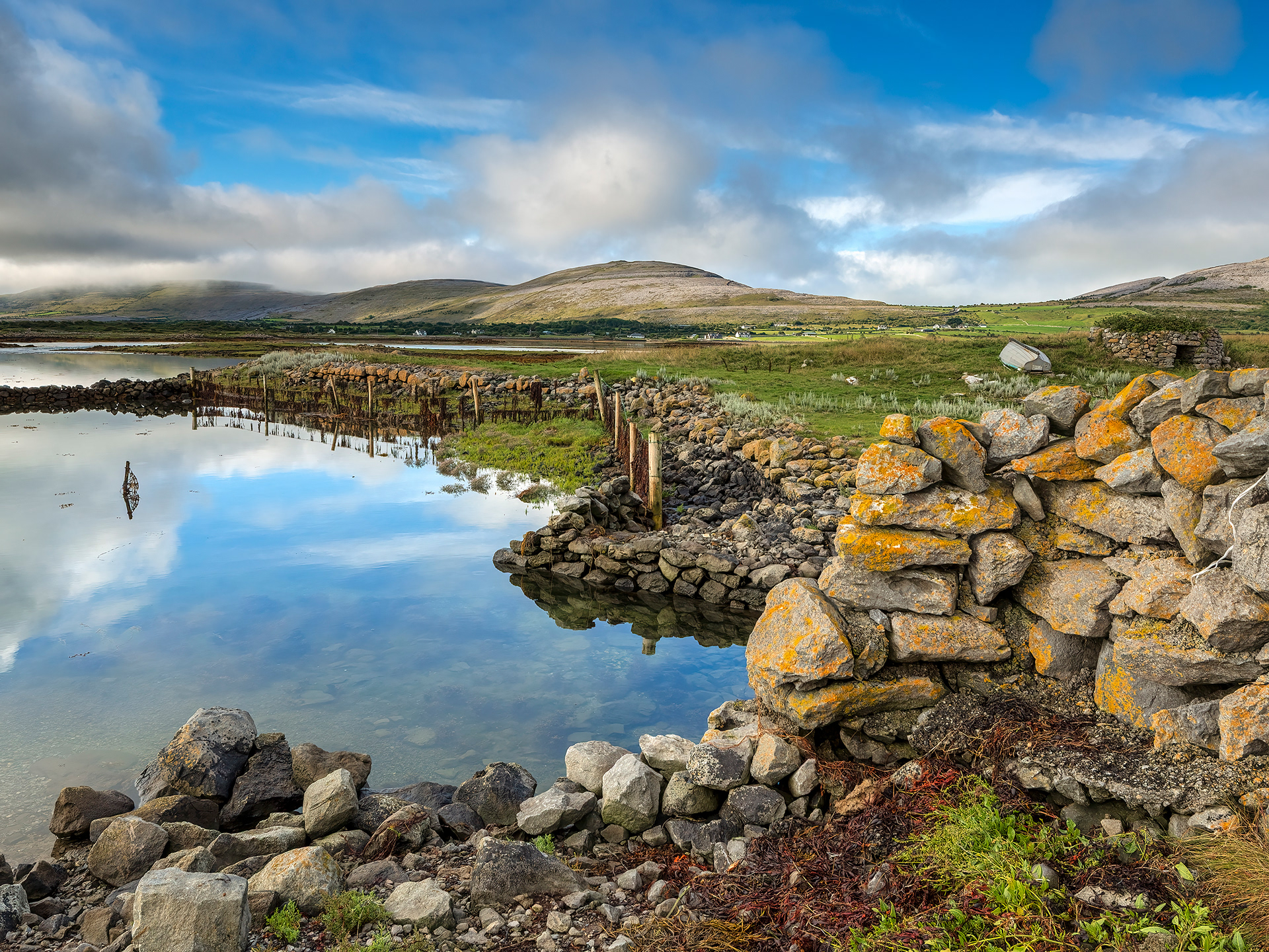
Turlough shore
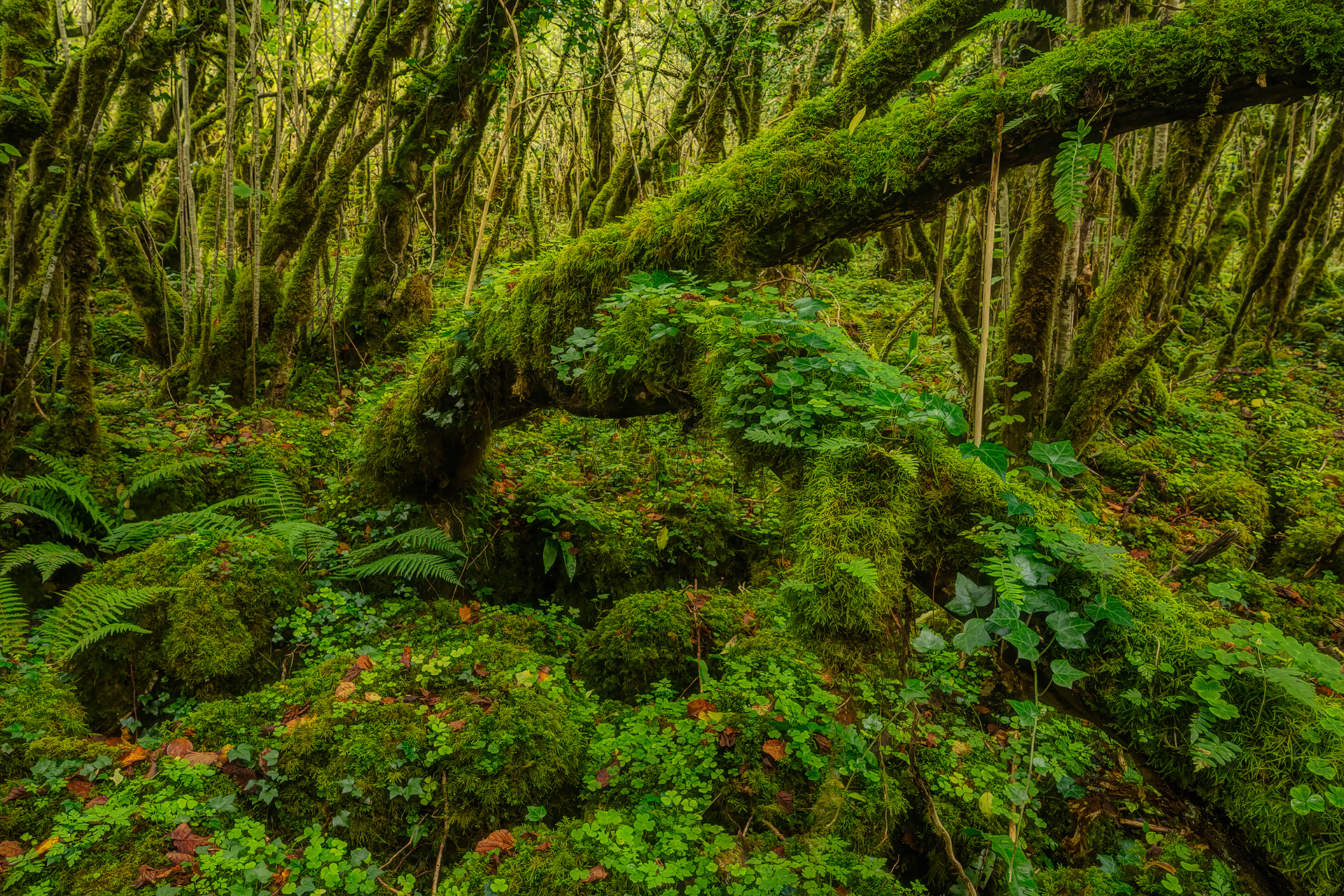
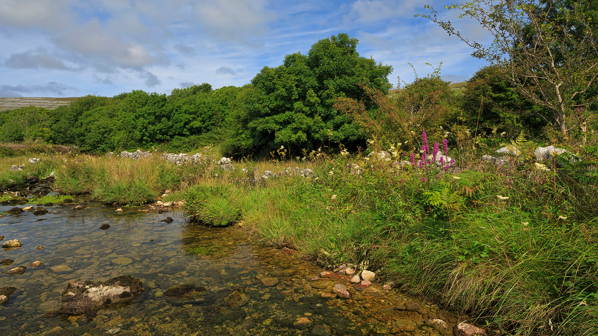
Hazel forest
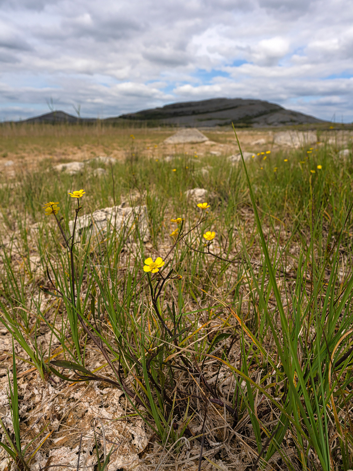
Lesser Spearwort
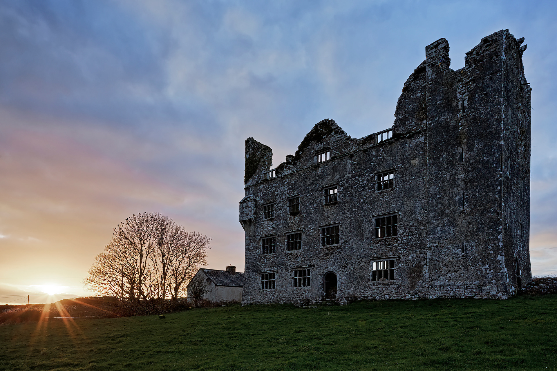
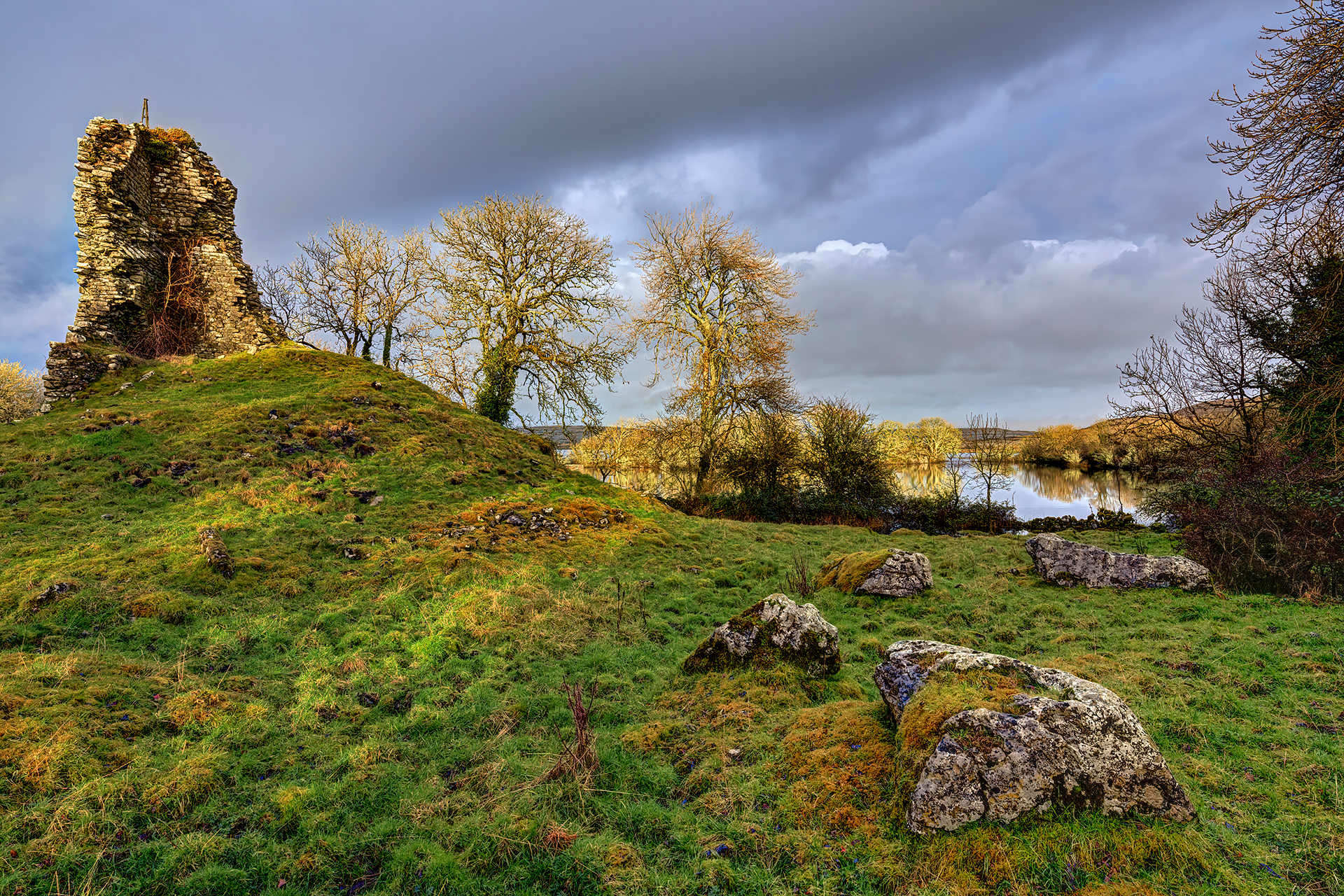
Leamenagh Castle
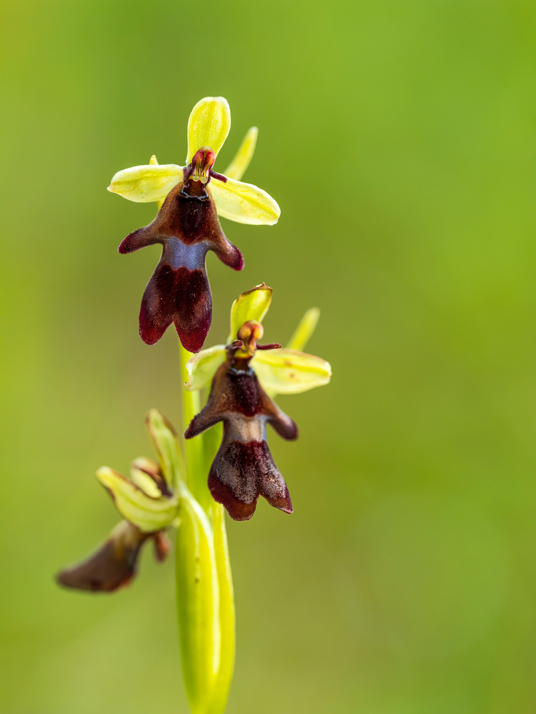
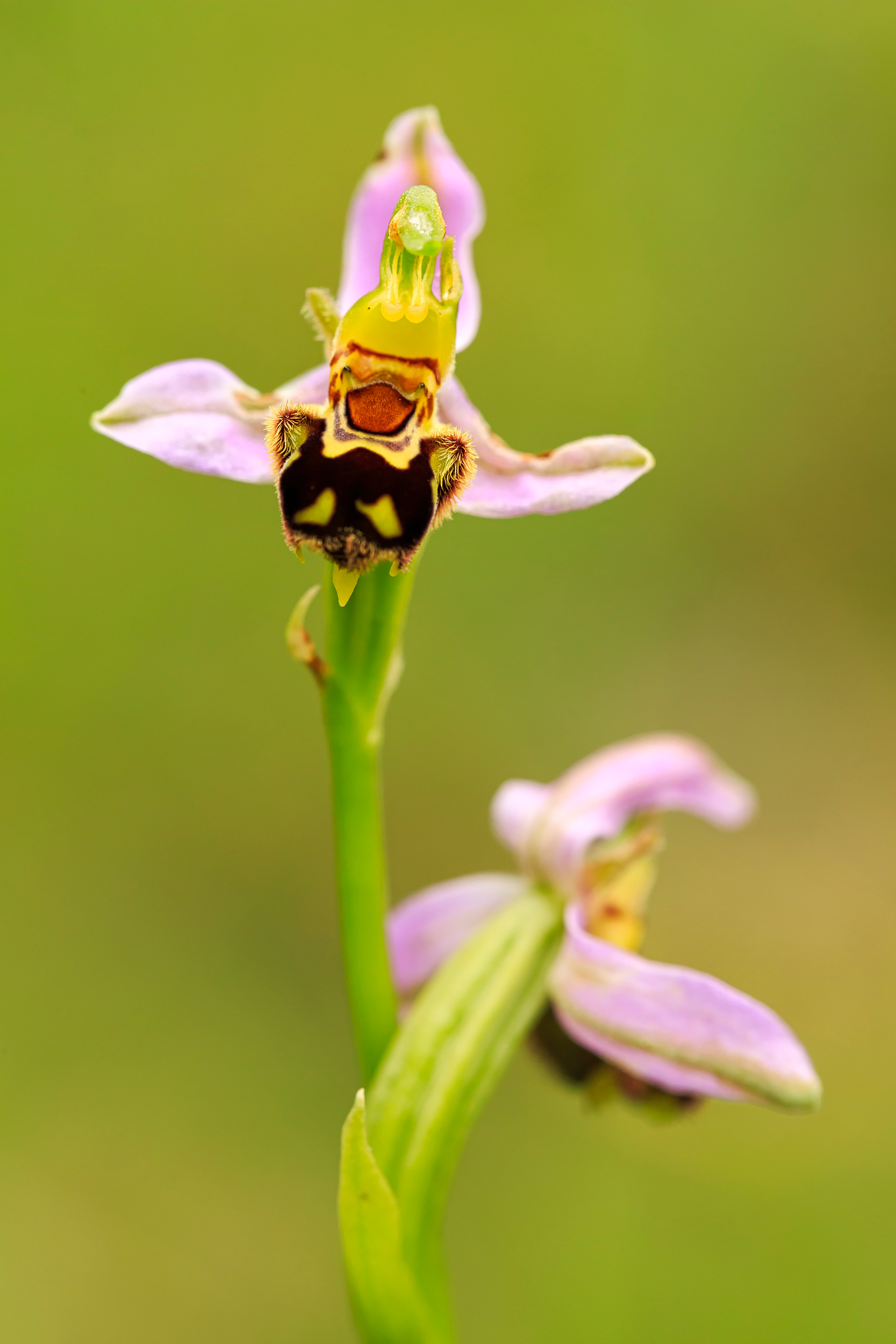
Fly orchid
Lough Gealain
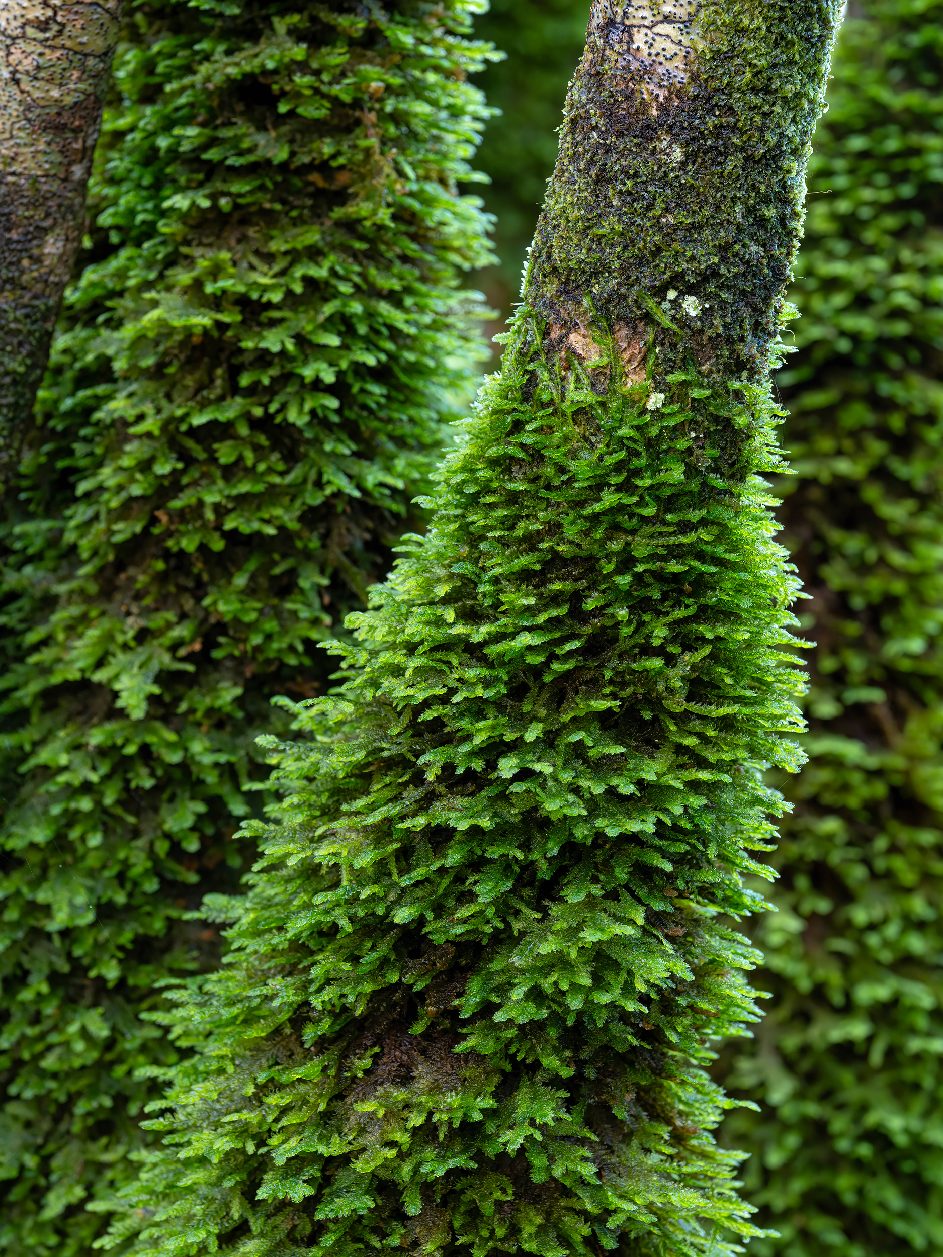
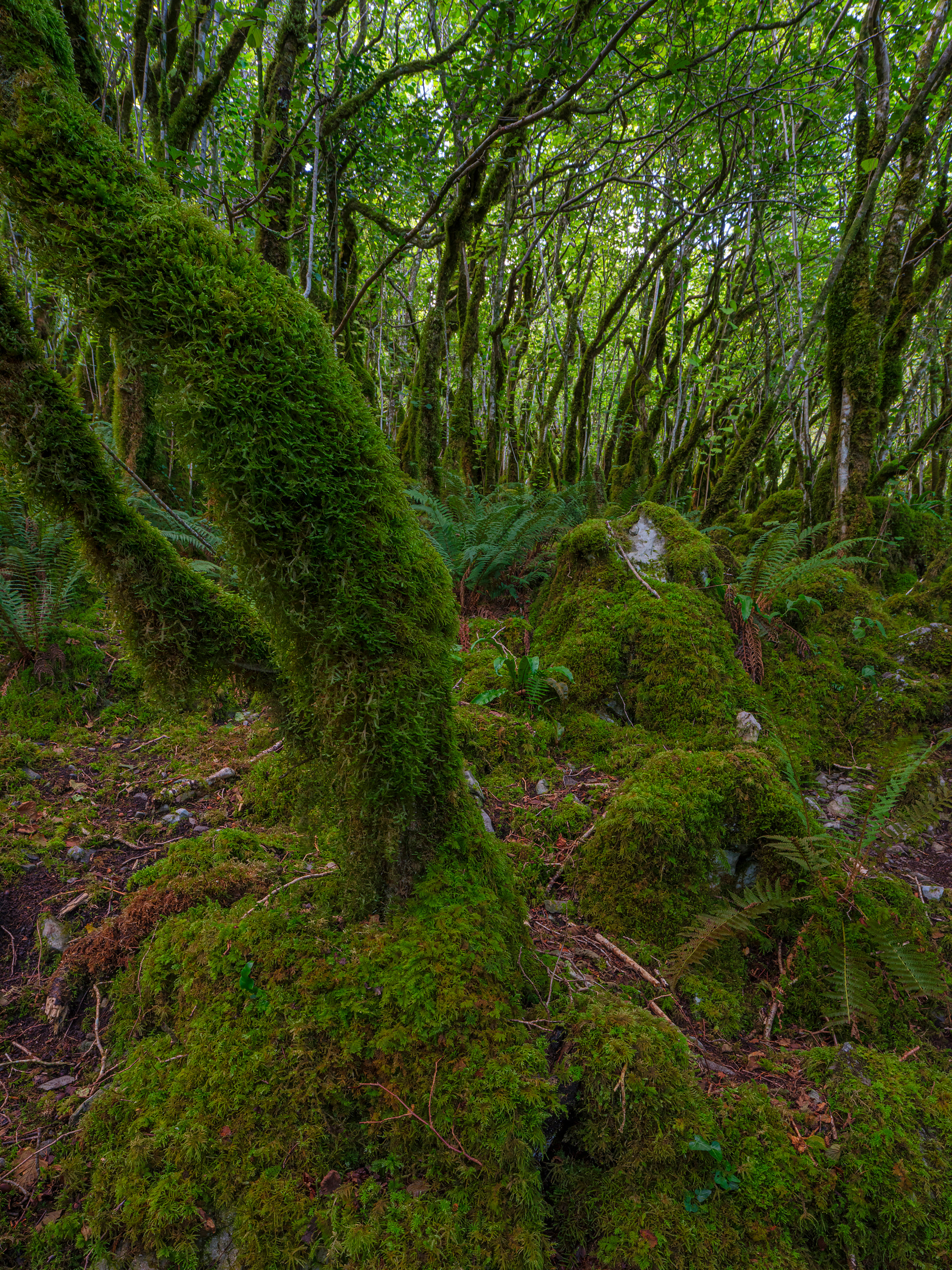
Moss on hazel
Rine Peninsula
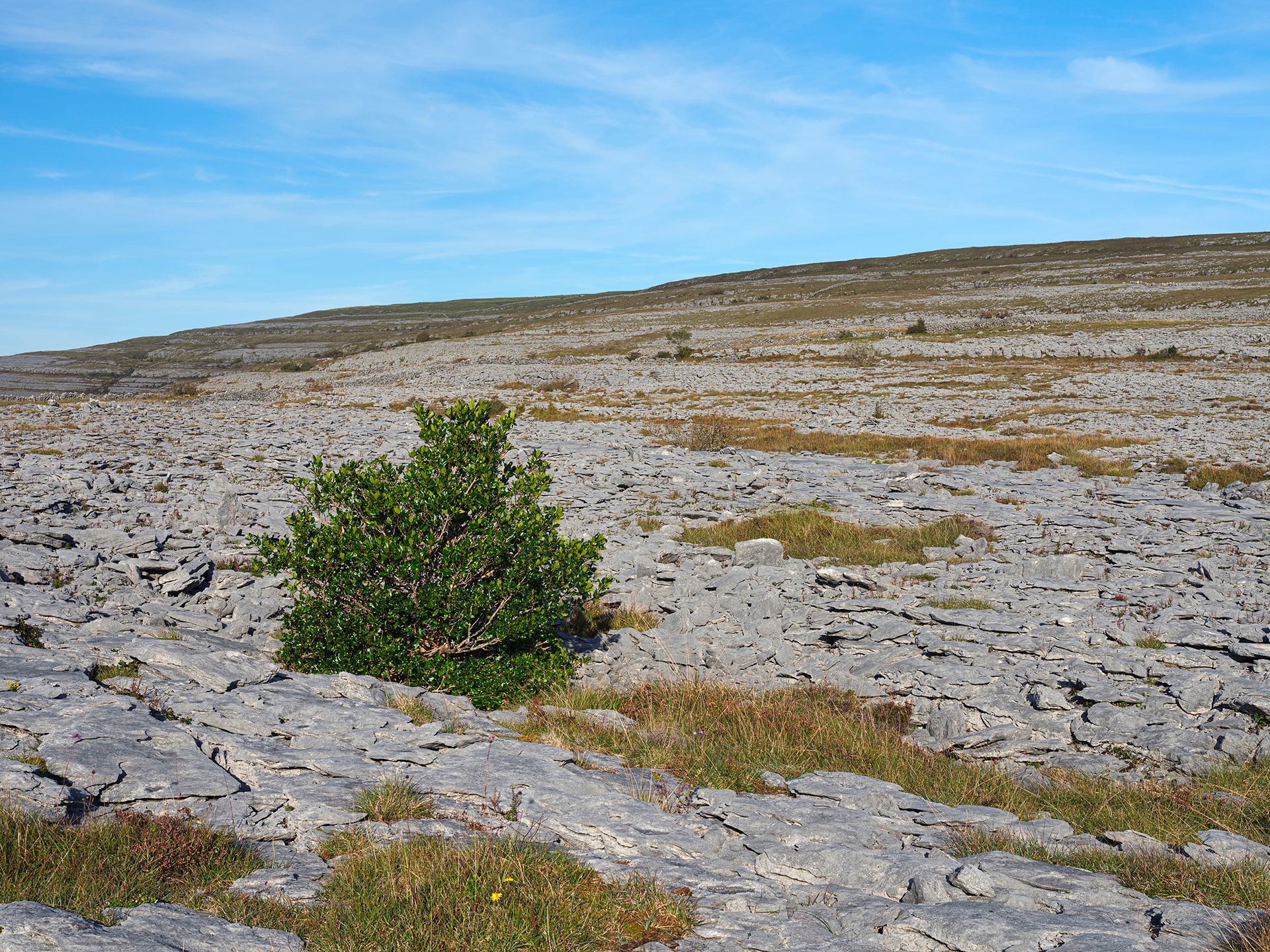
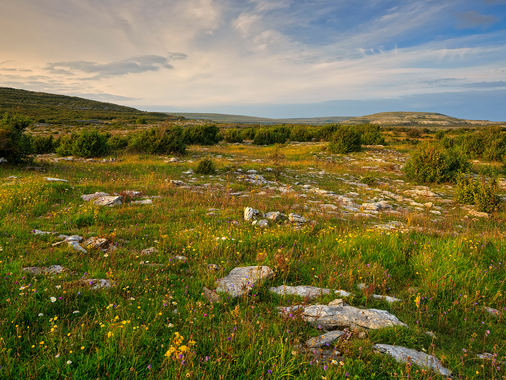
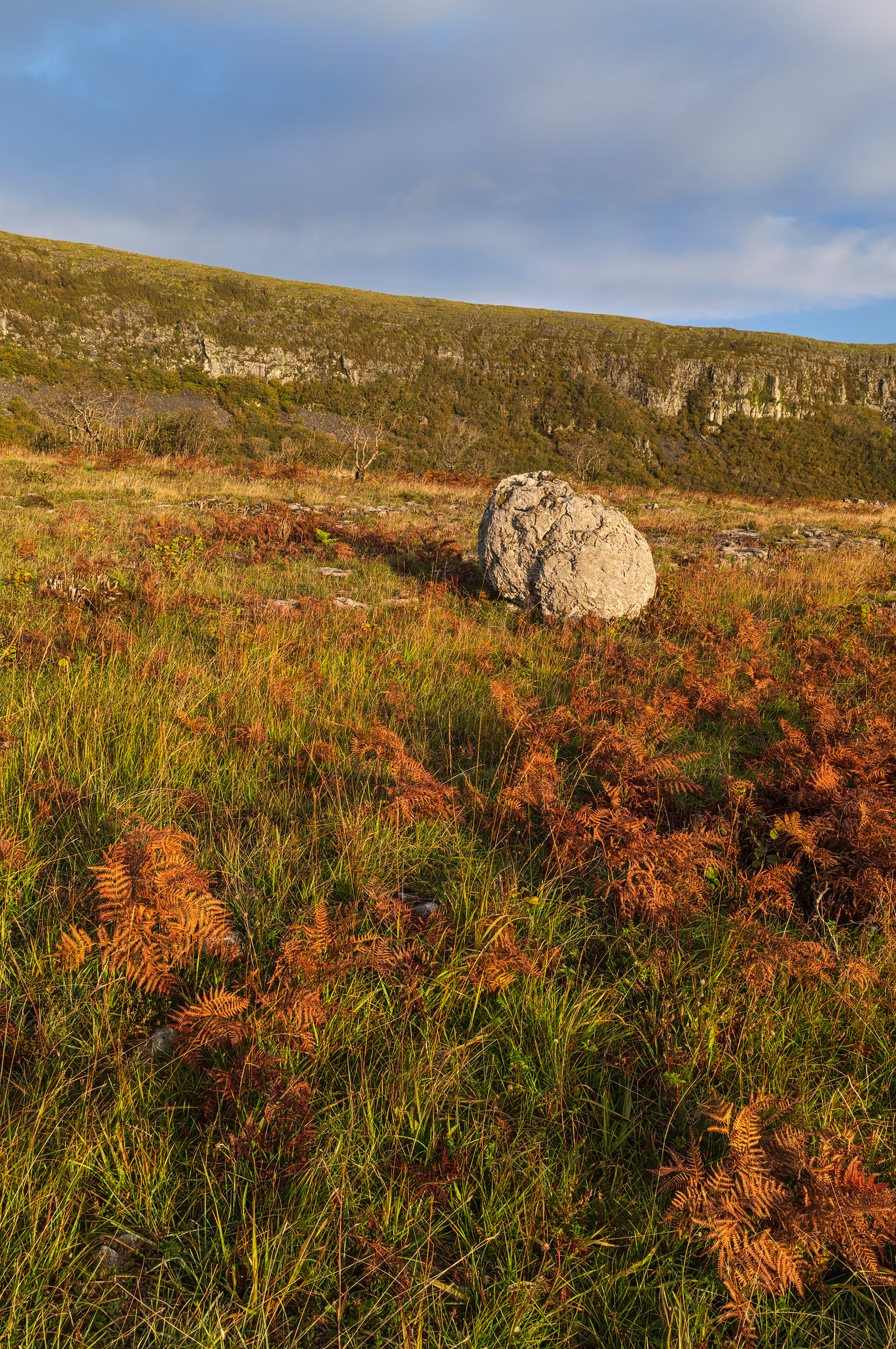
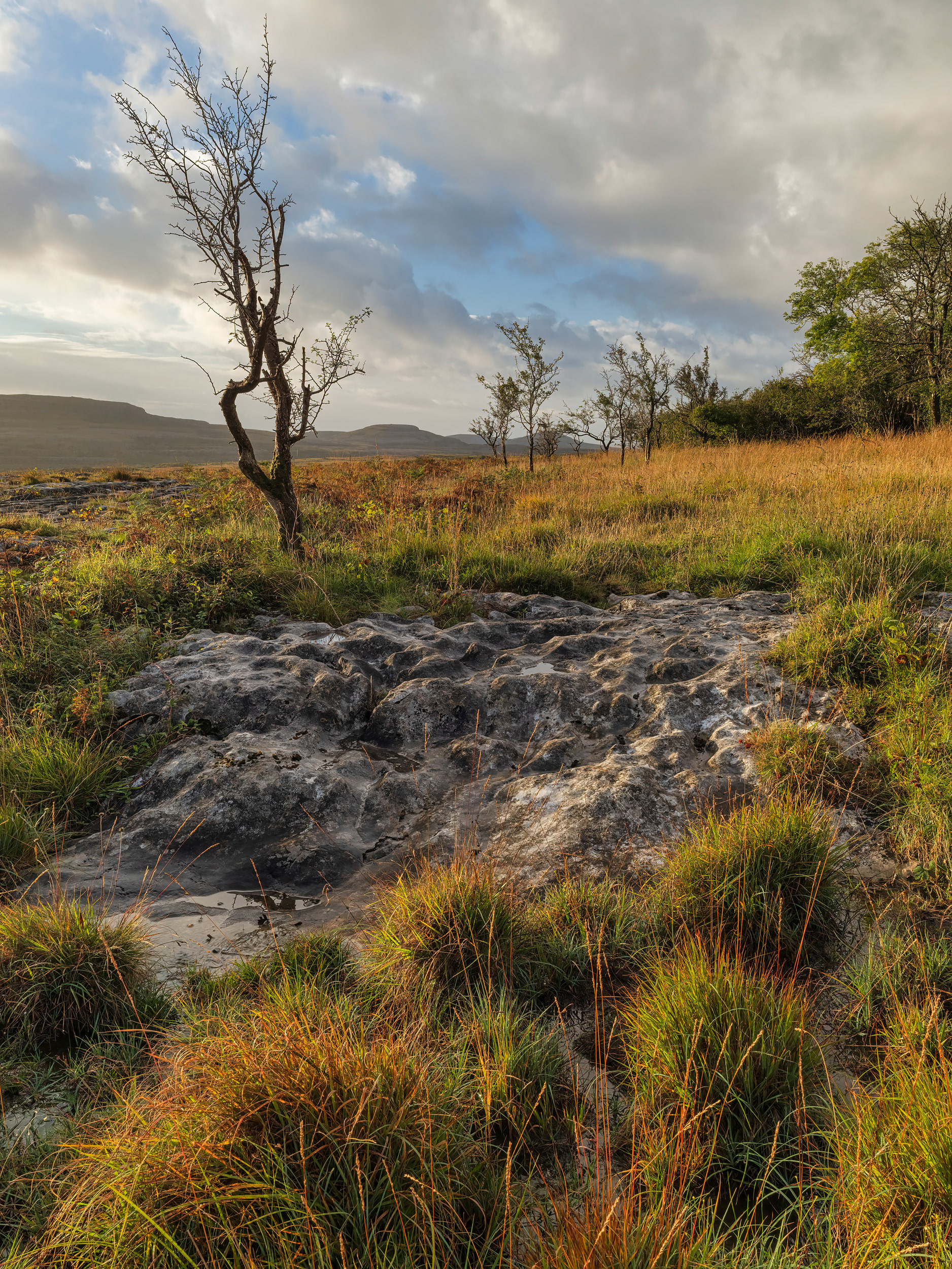
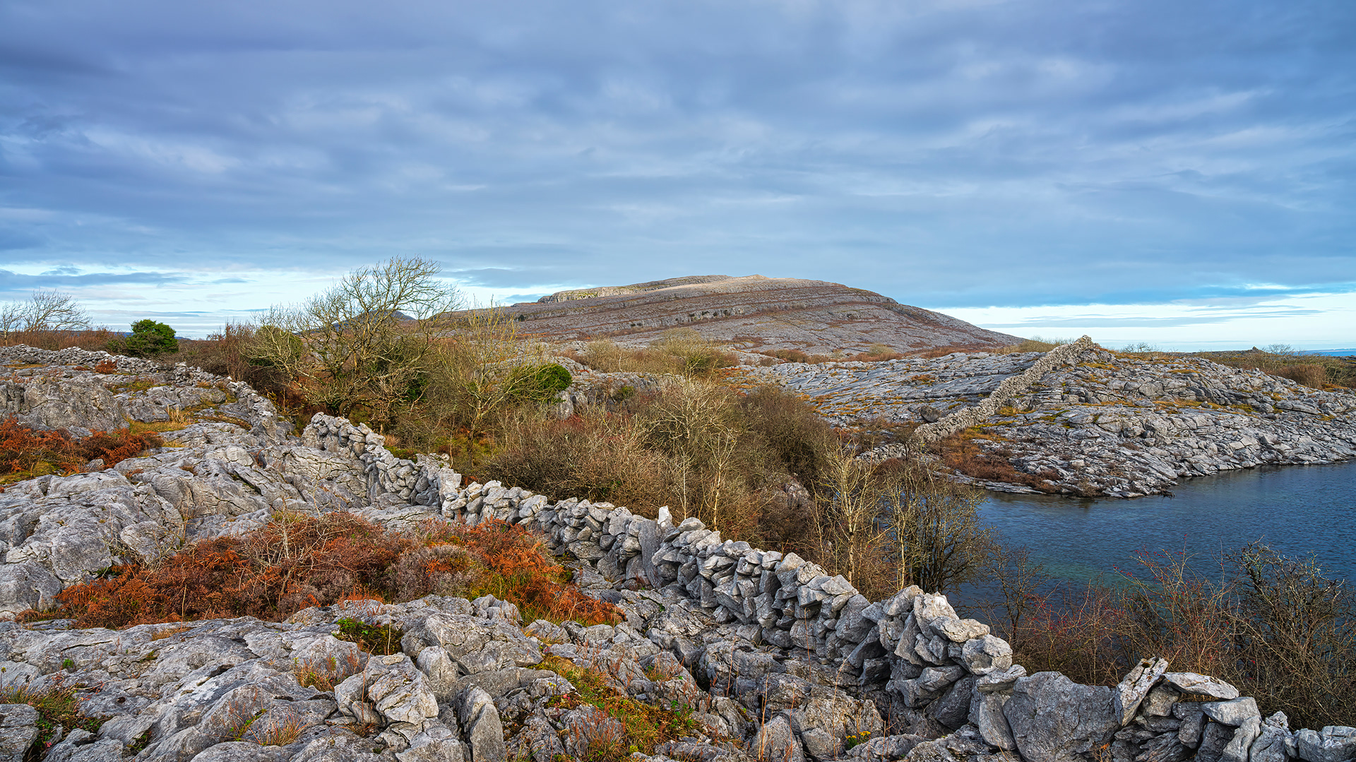
Rockforest
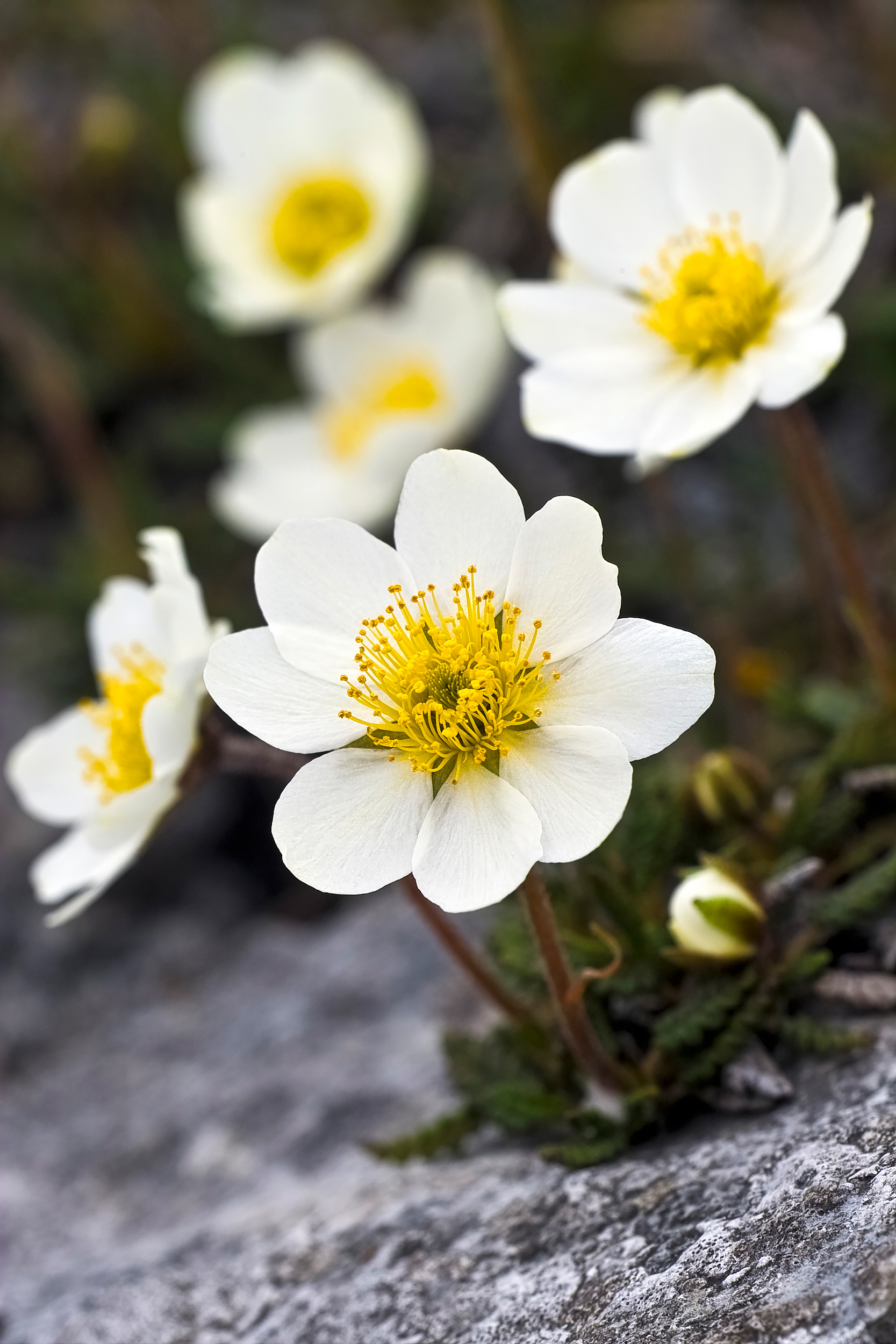
Mountain avens
Bee orchid
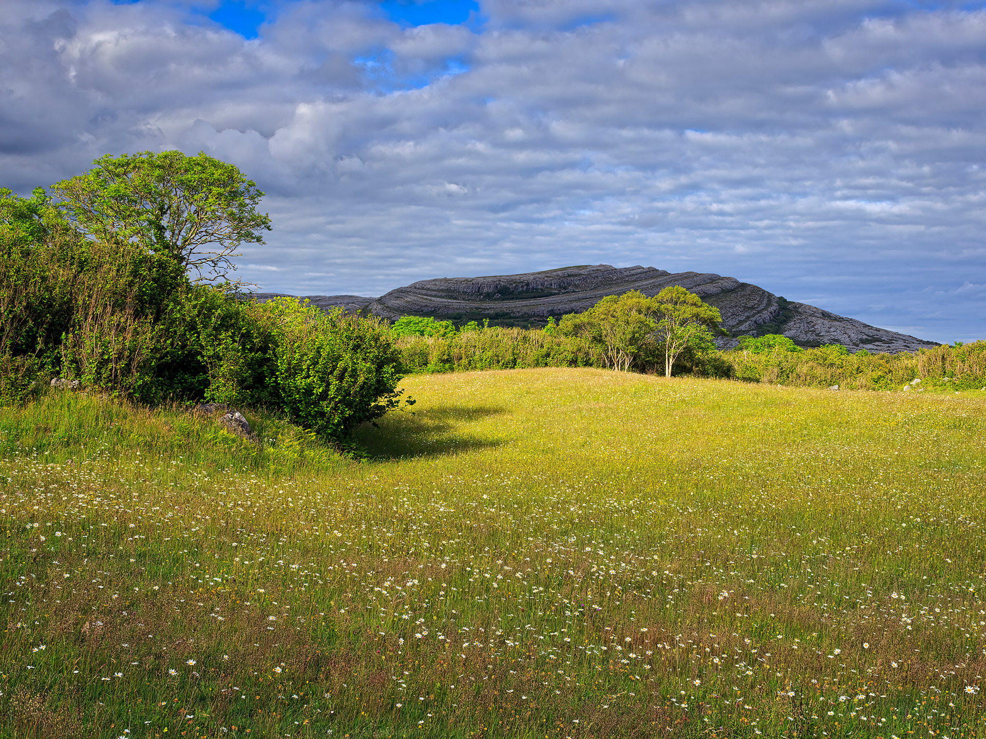
Burren meadow
Hazel forest
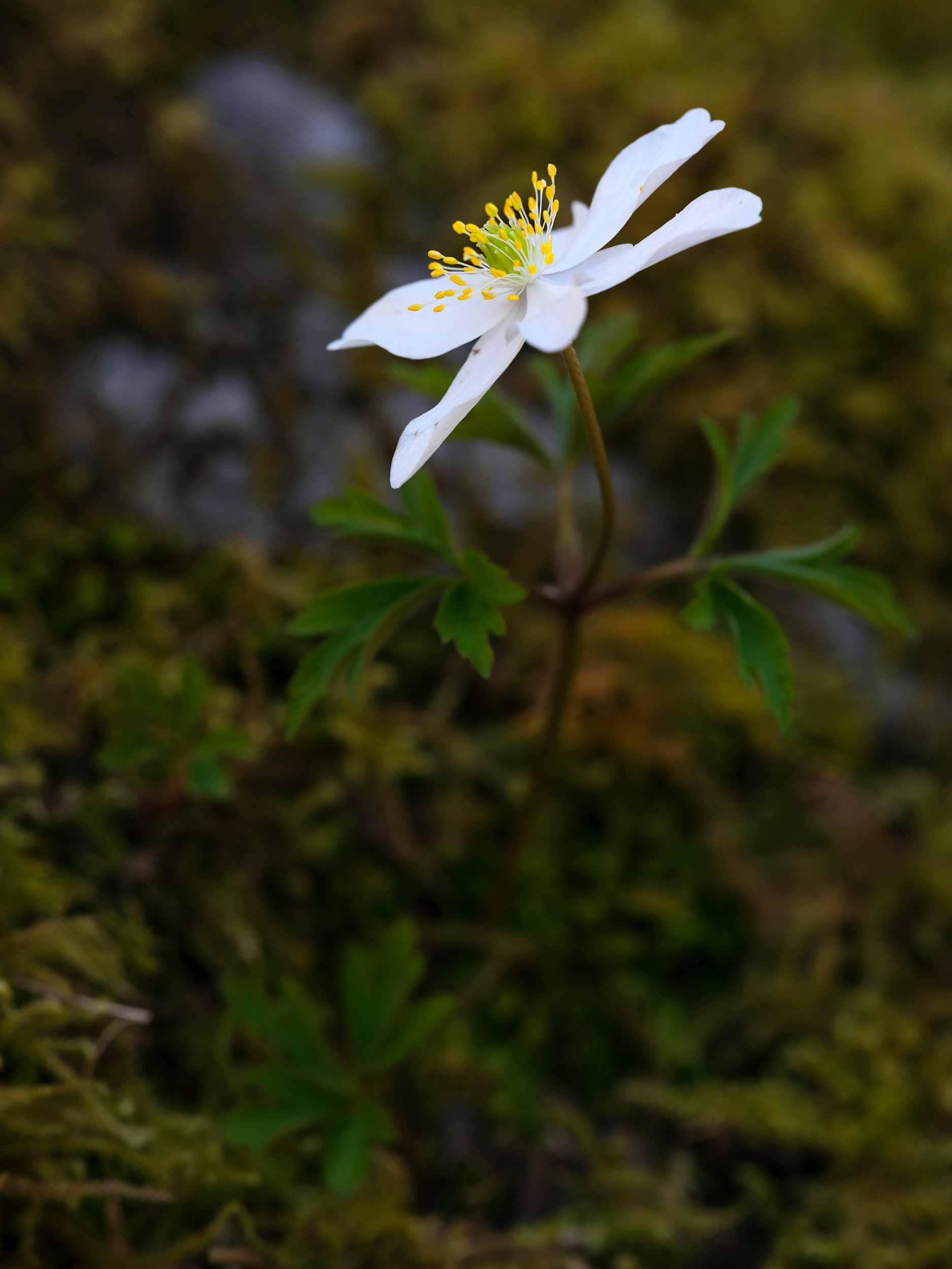
Wood anemone
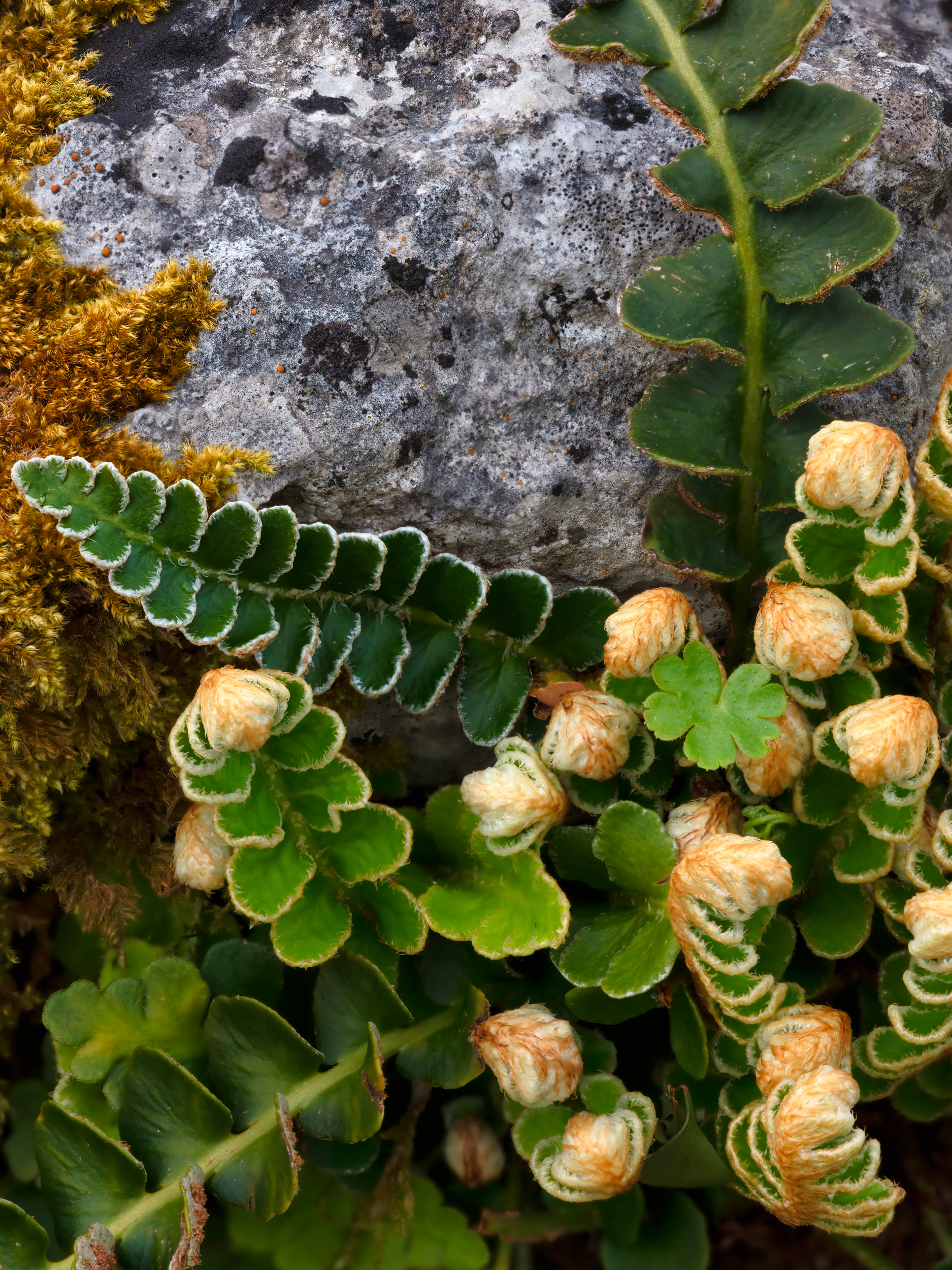
Rusty back fern
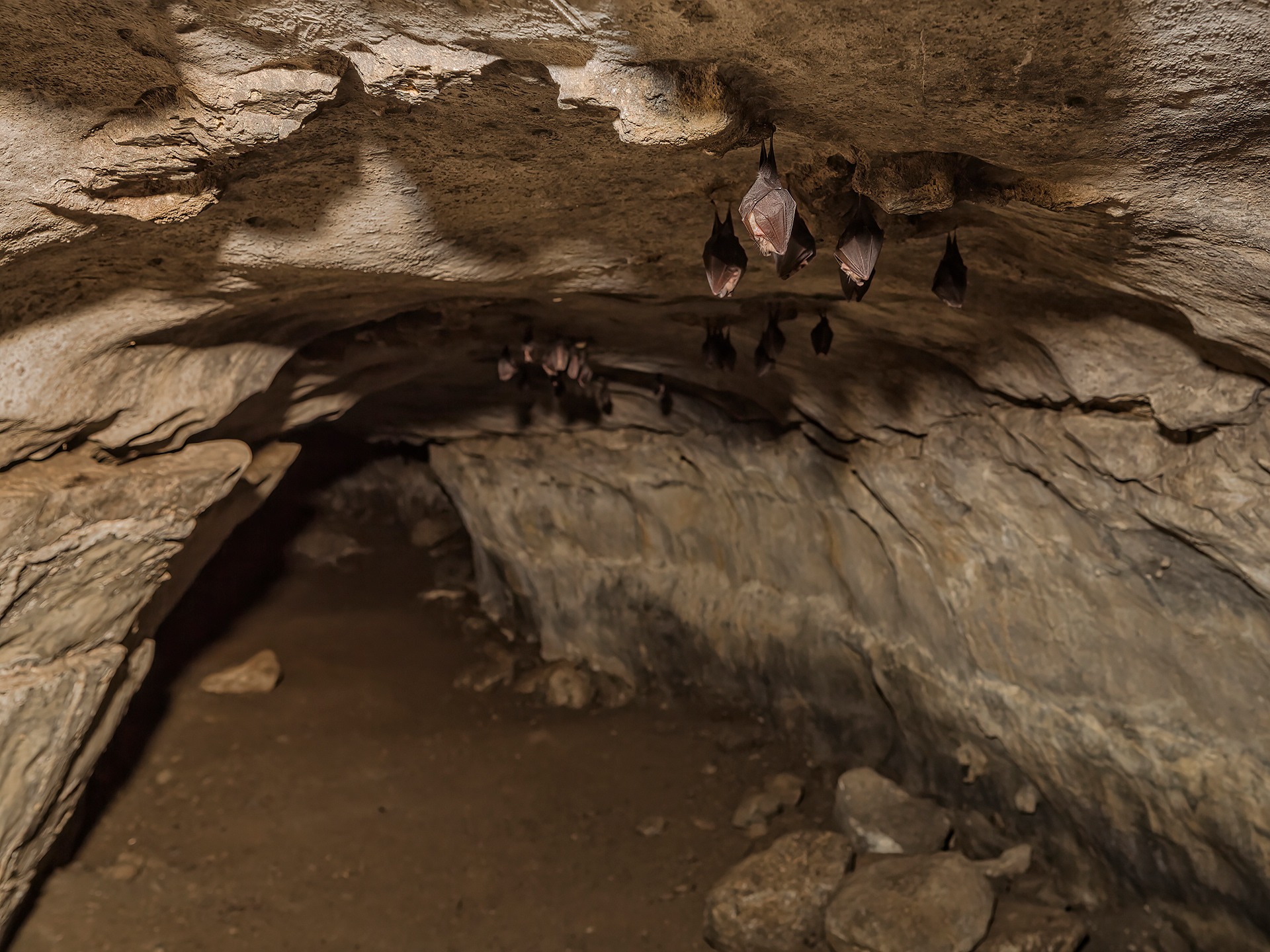
Lesser horseshoe bats
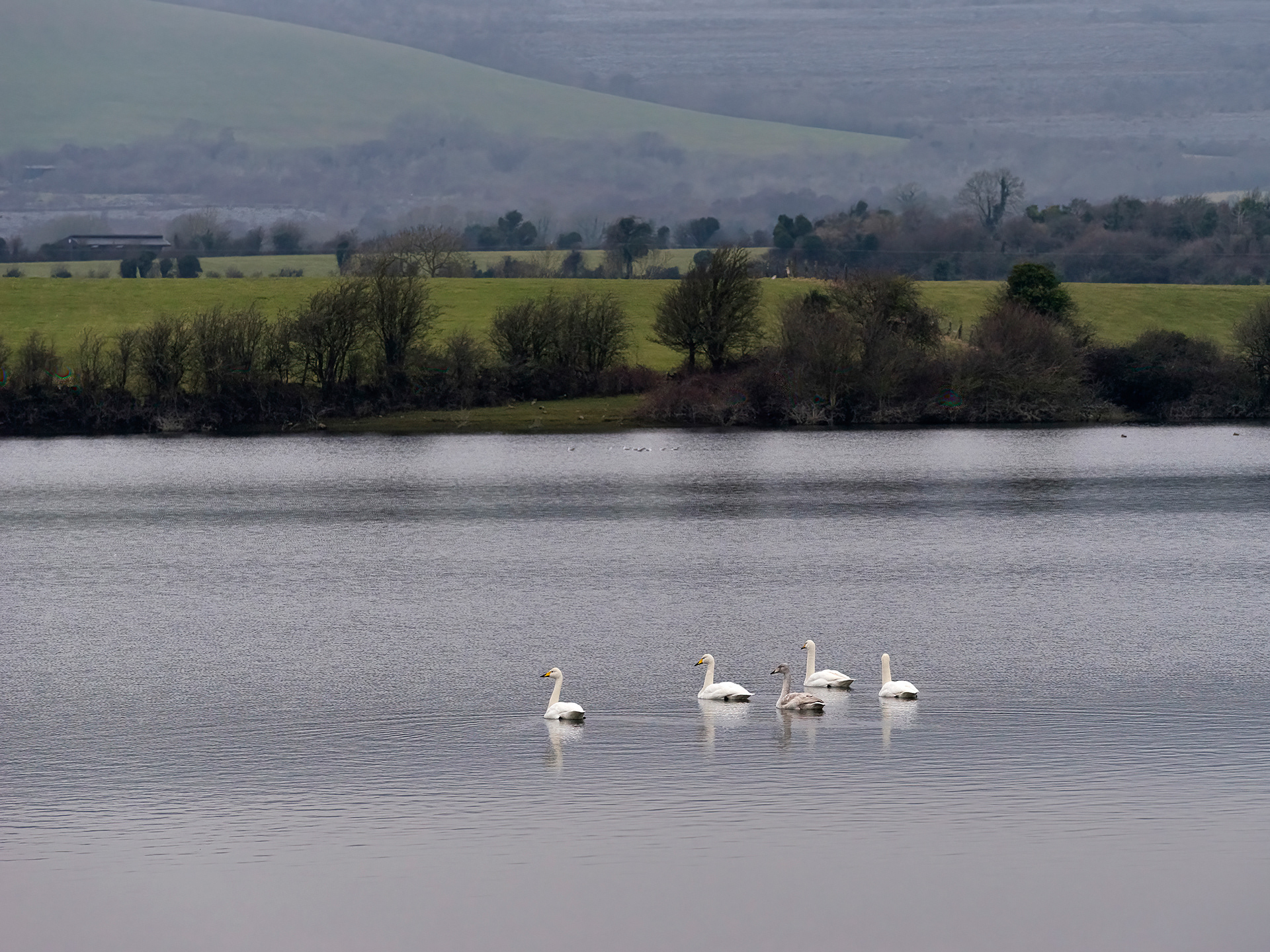
Whooper swans
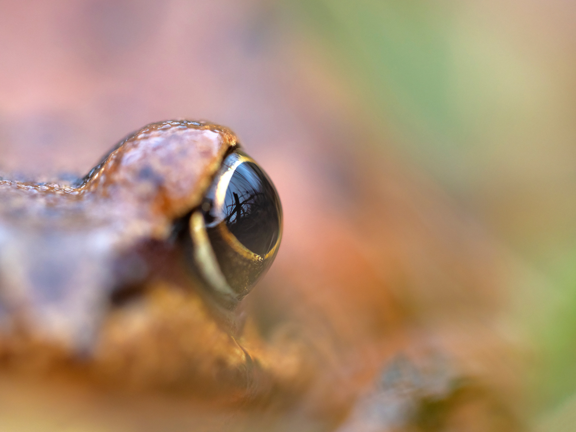
Common frog
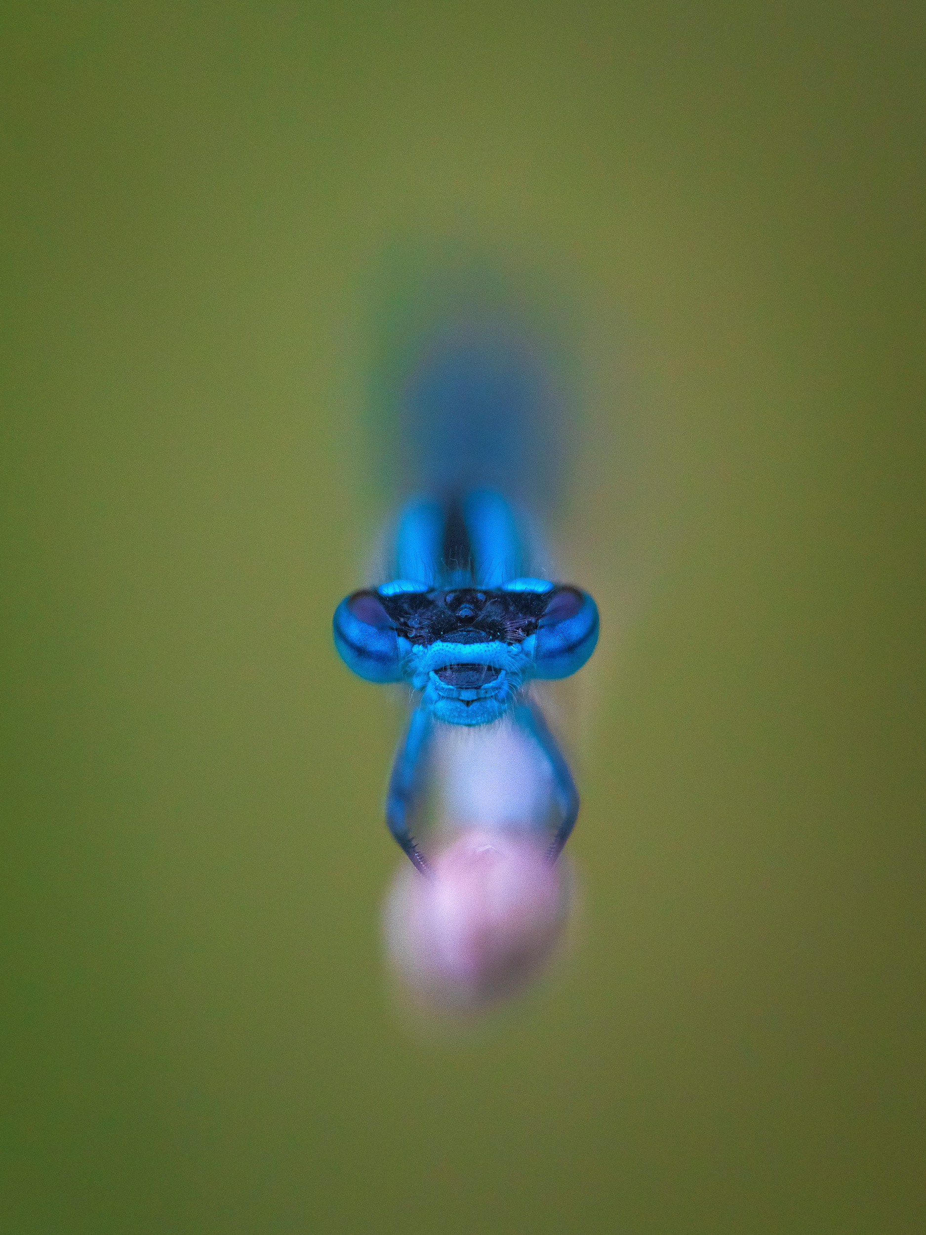
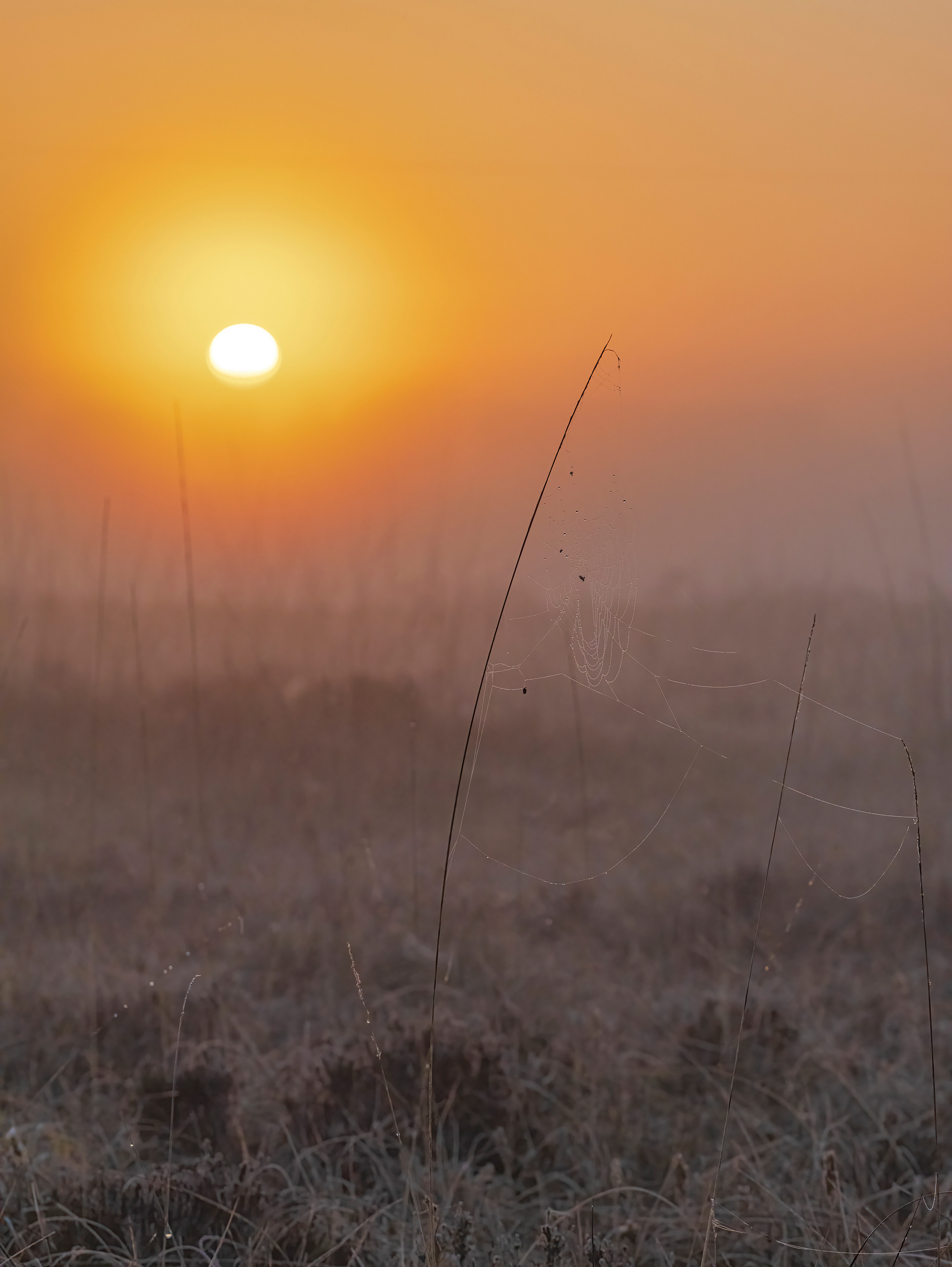
Common blue damselfly
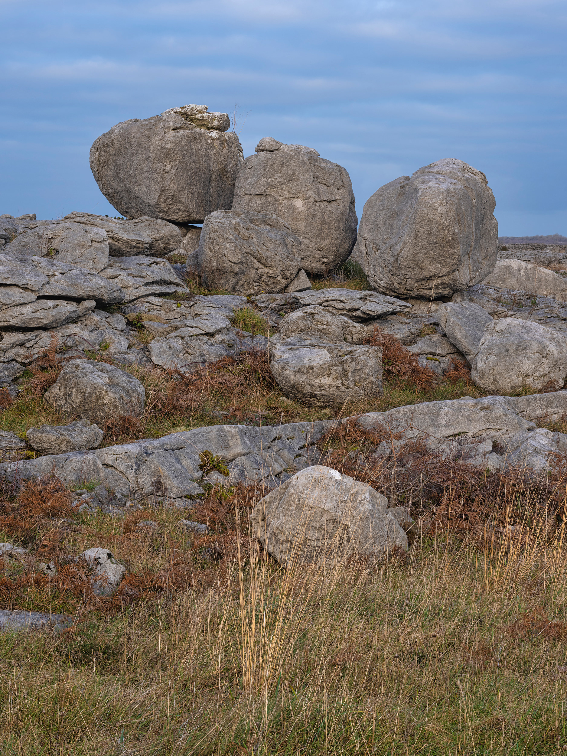
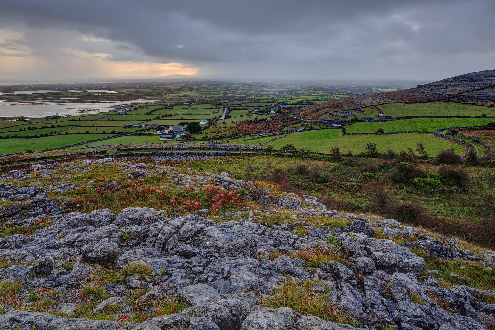
Cappanawalla
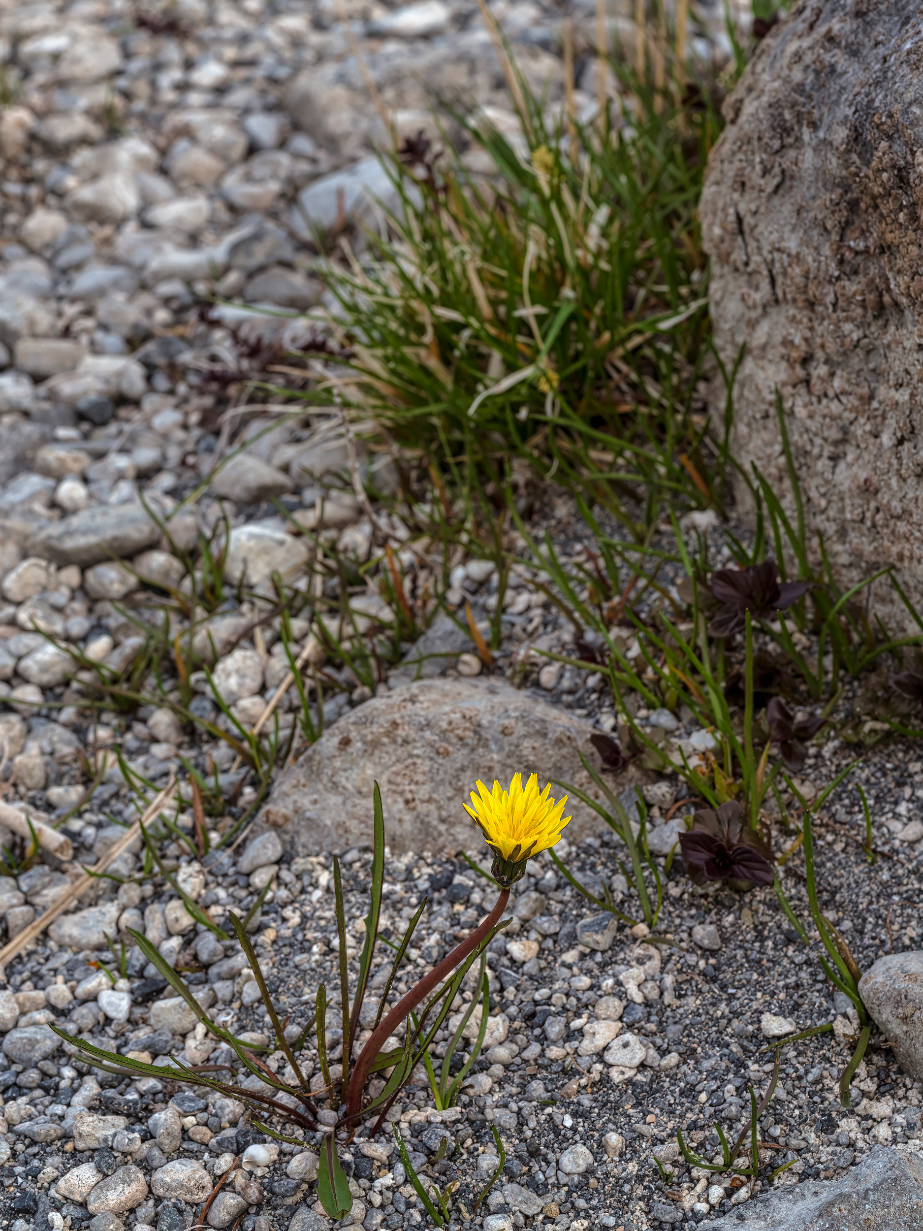
Turlough dandelion
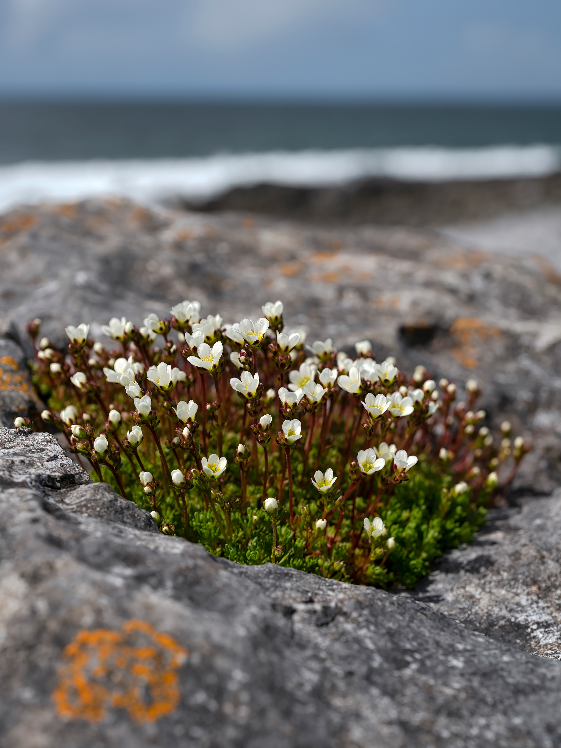
Irish Saxifrage
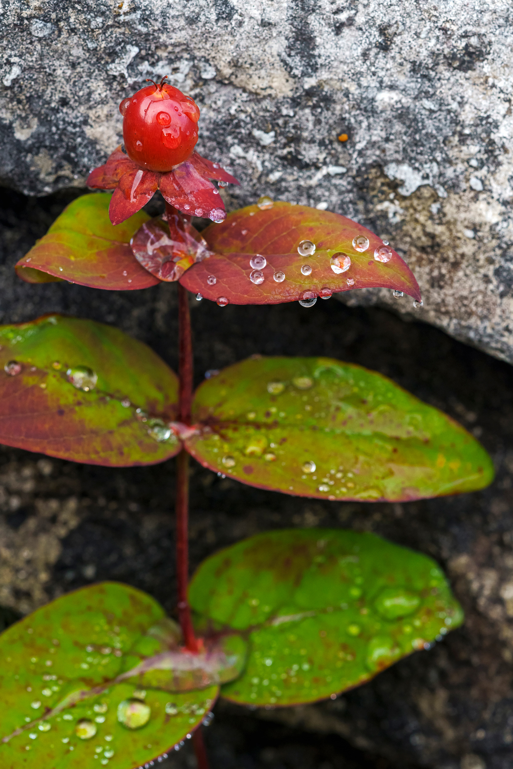
Tutsan
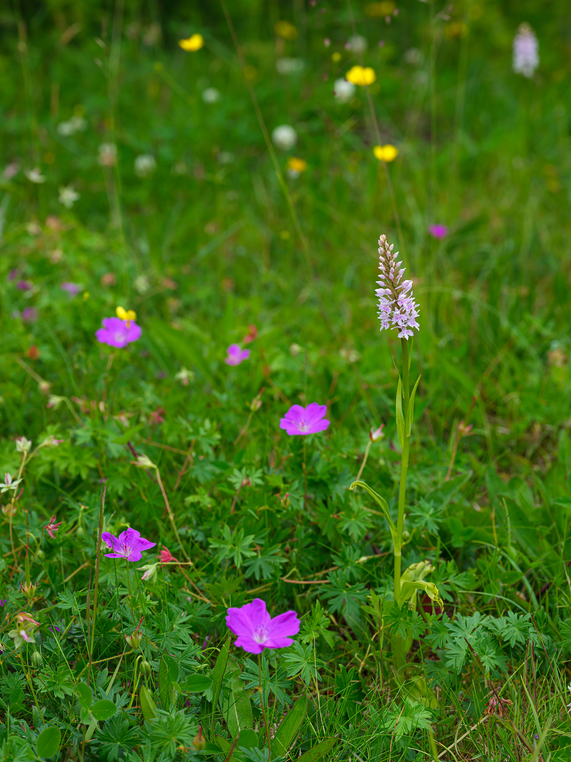
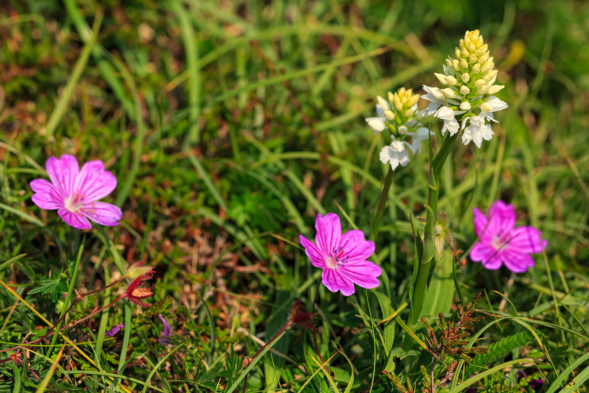
Bloody cranesbill & O'Kelly's spotted orchid
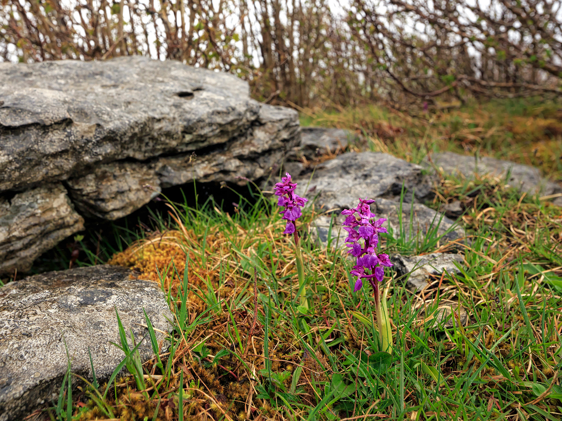
Early purple orchid
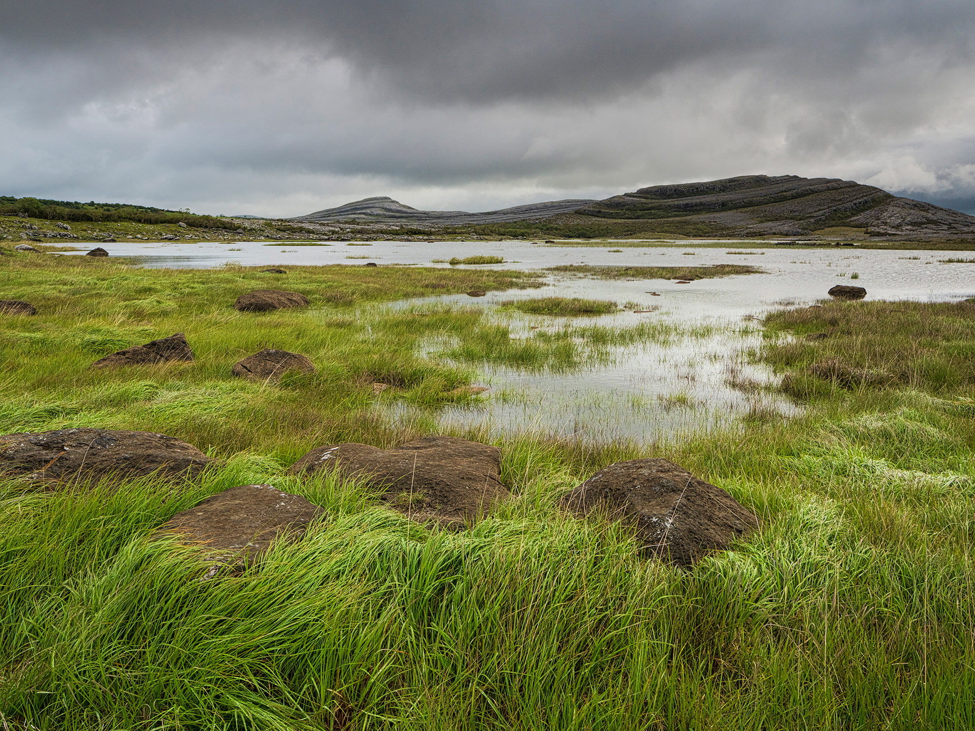
Mullagh More
Flooded hazel forest
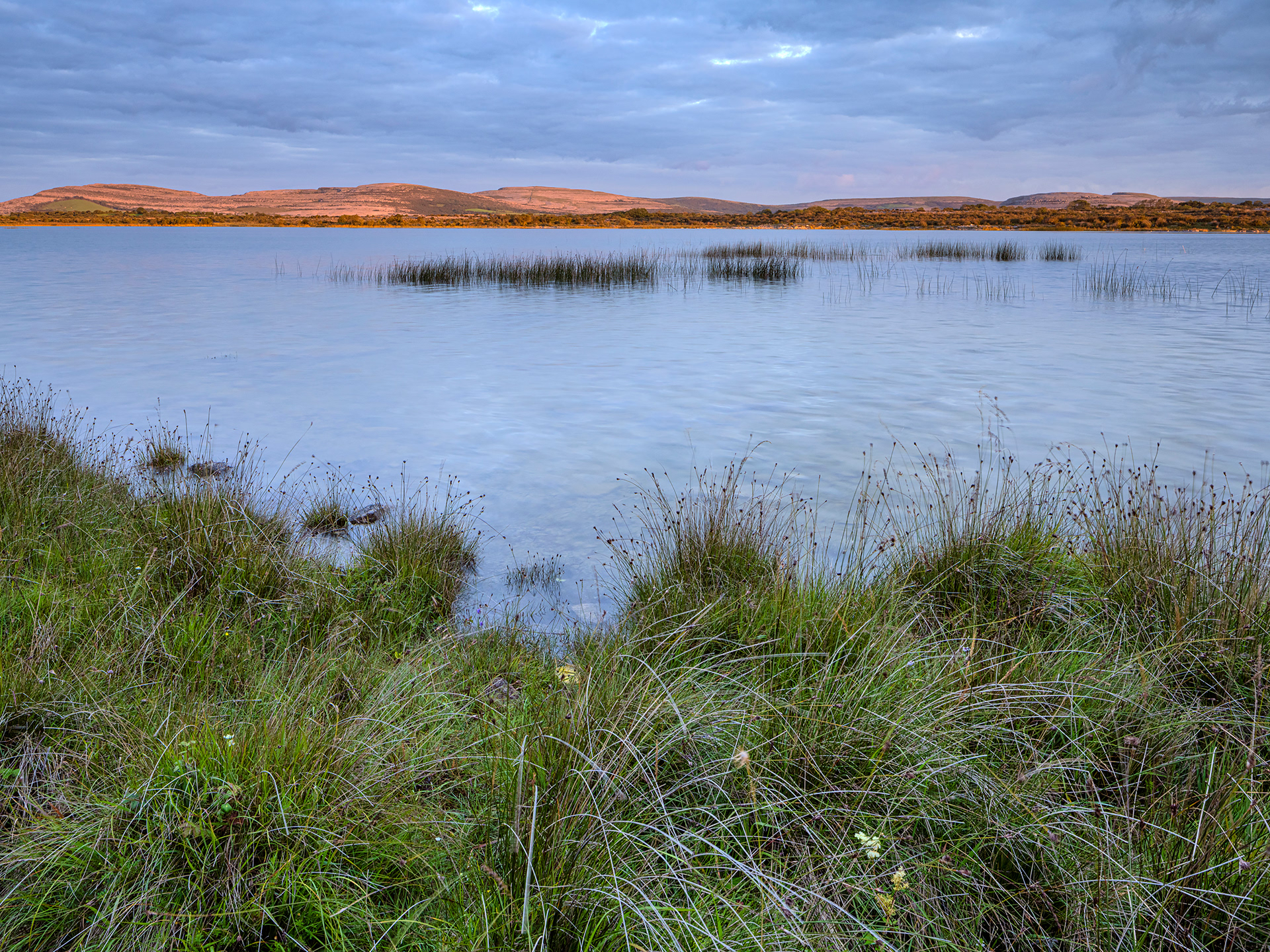
Lough Bunny
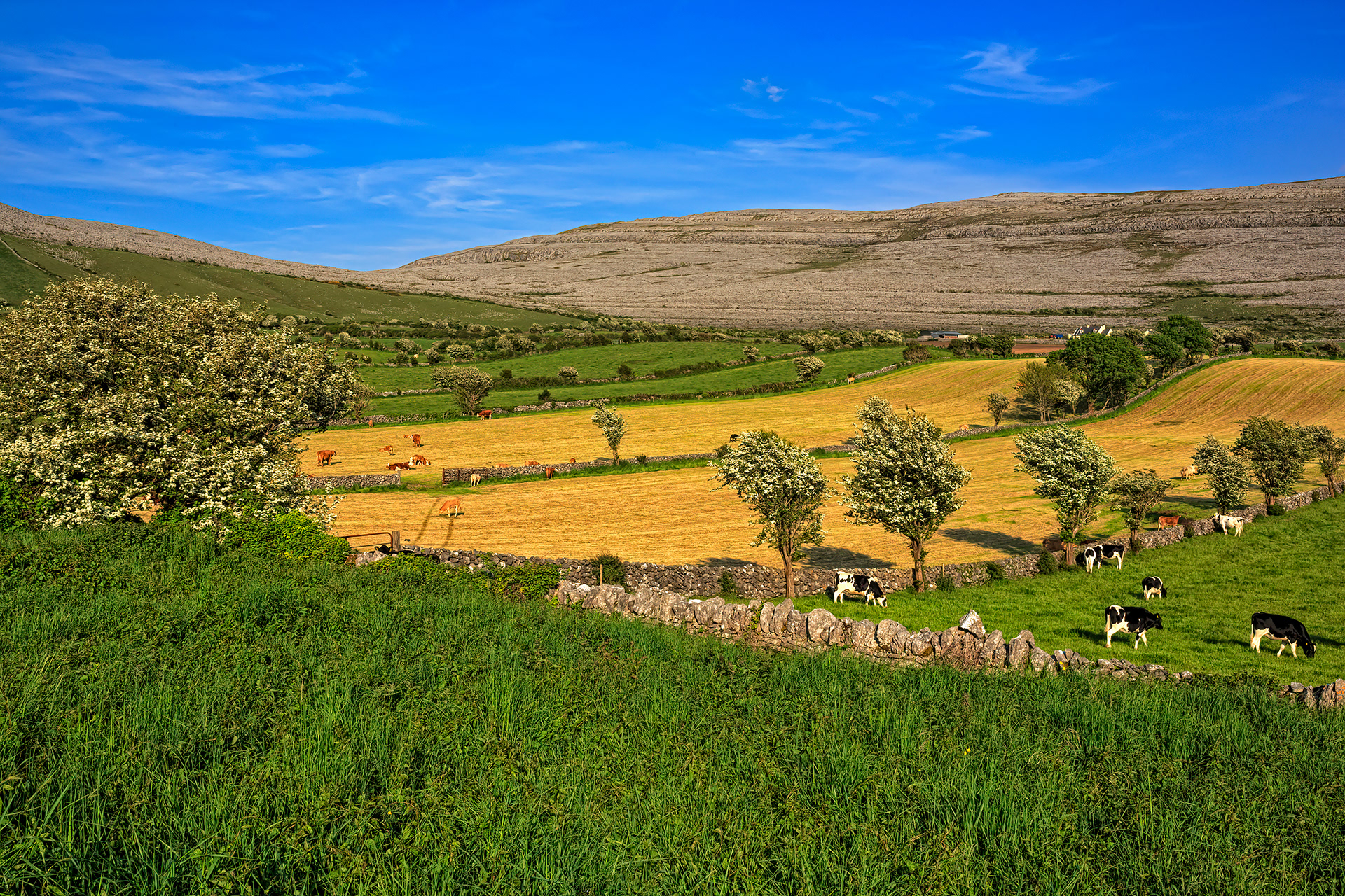
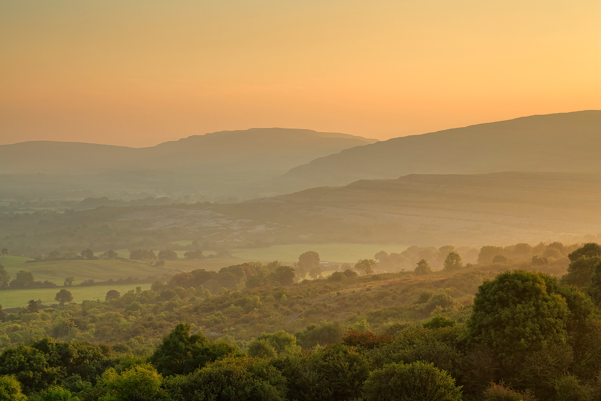
Burren uplands
Rockforest
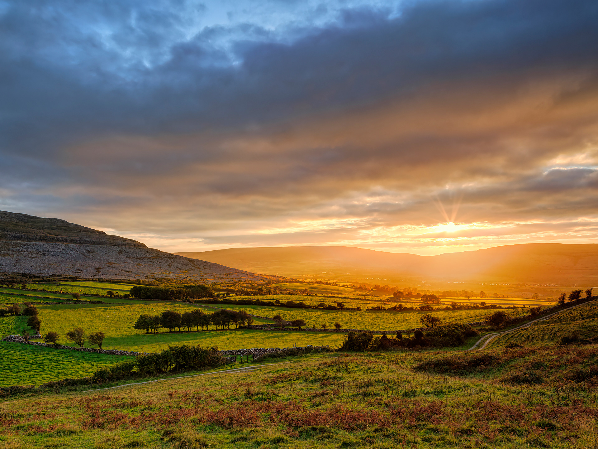
Fahee North
Fahee North
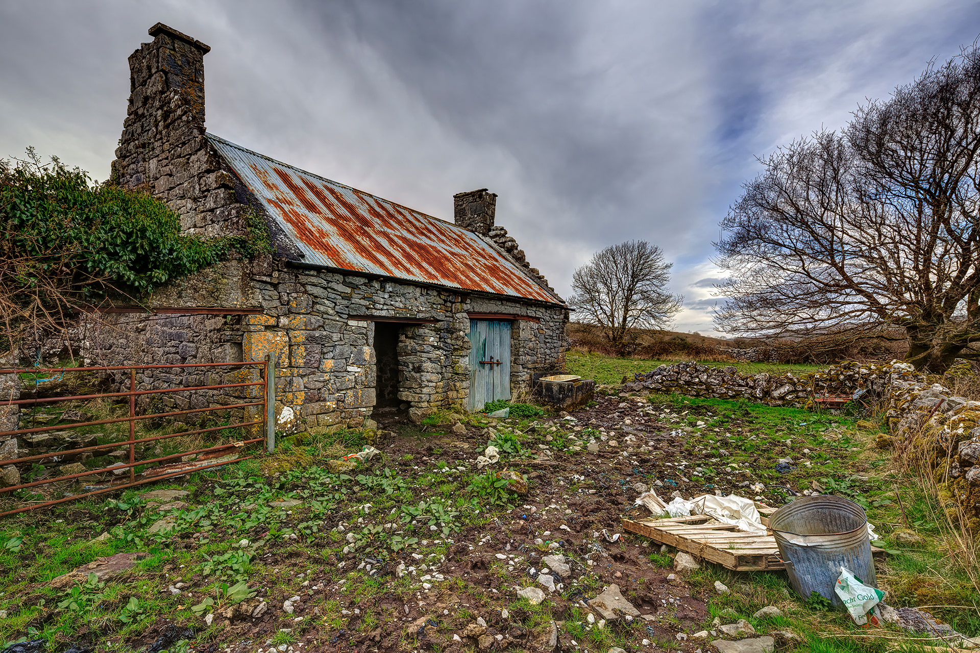
Fermoyle Cottage
Bishop's Quarter
Ballyvaughan Bay
Gleninagh
Hazel forest
Kinvara Wind Mill
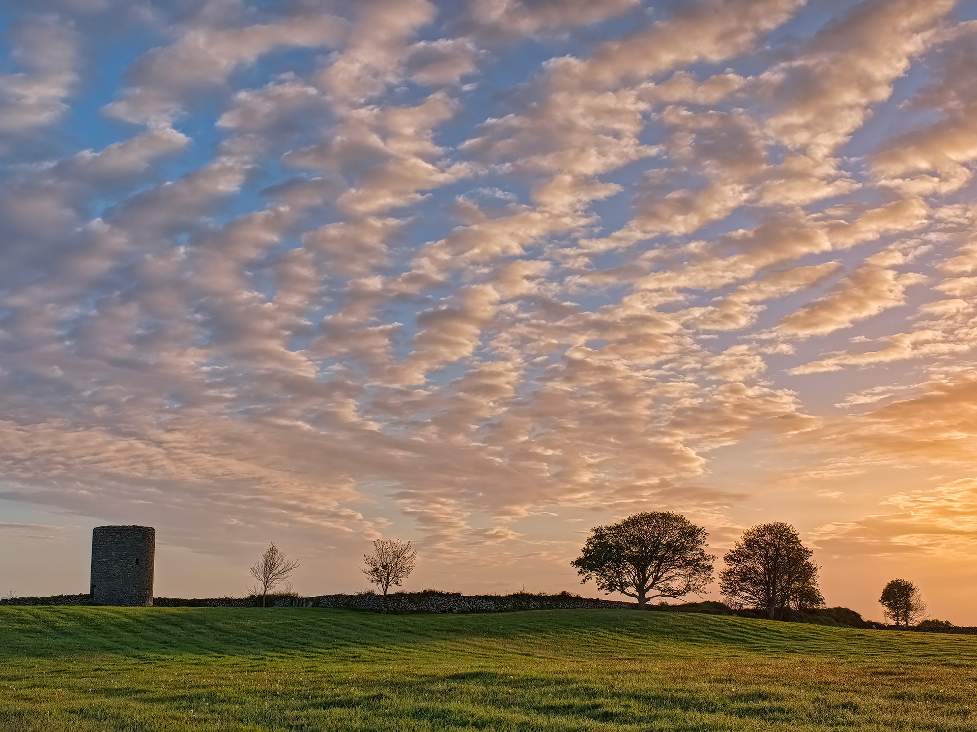
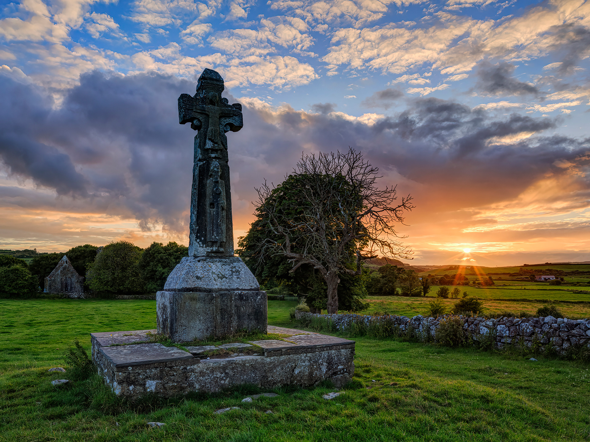
Dysert O'Dea
Termon
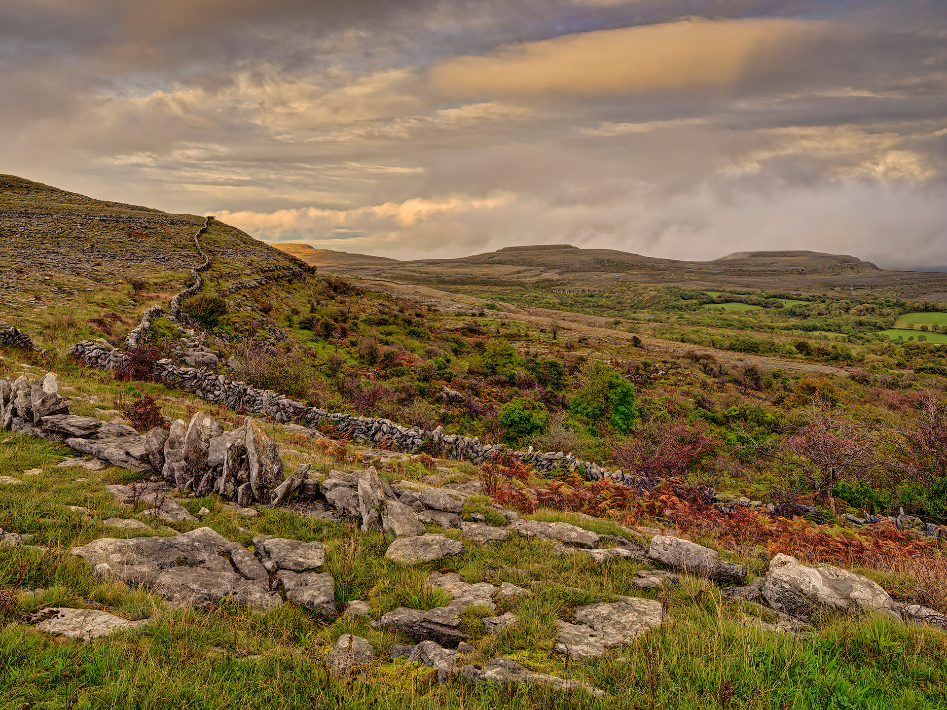
Mullagh More
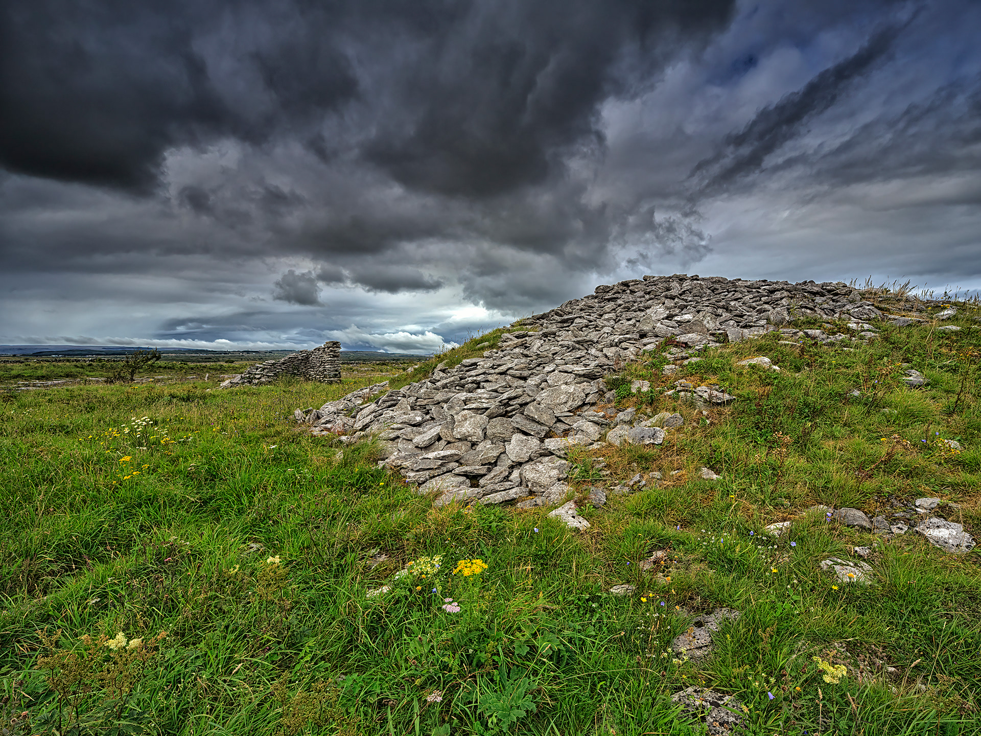
Poulawack Cairn
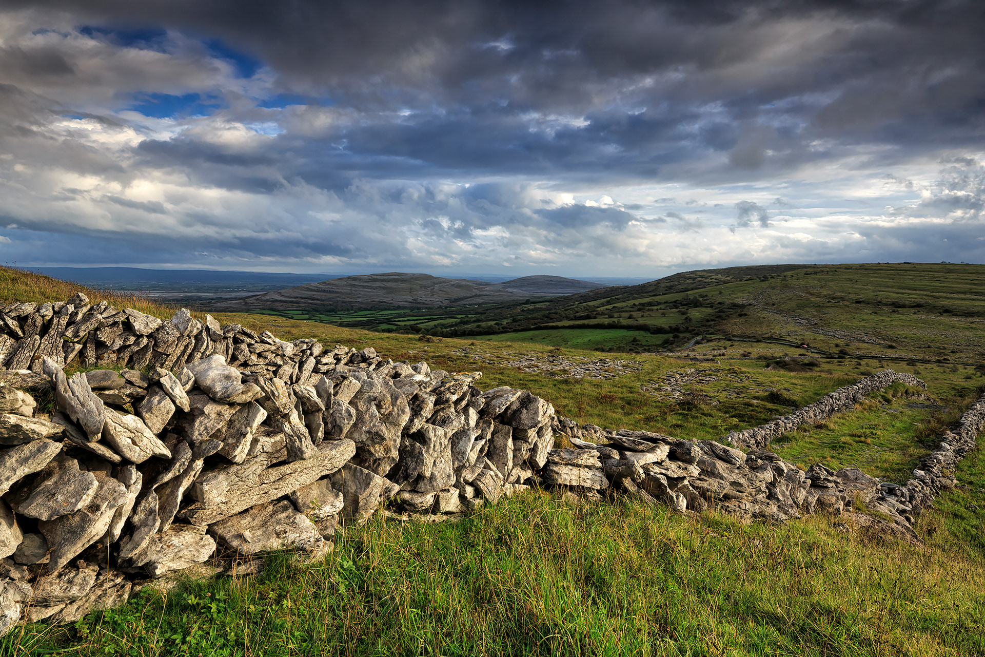
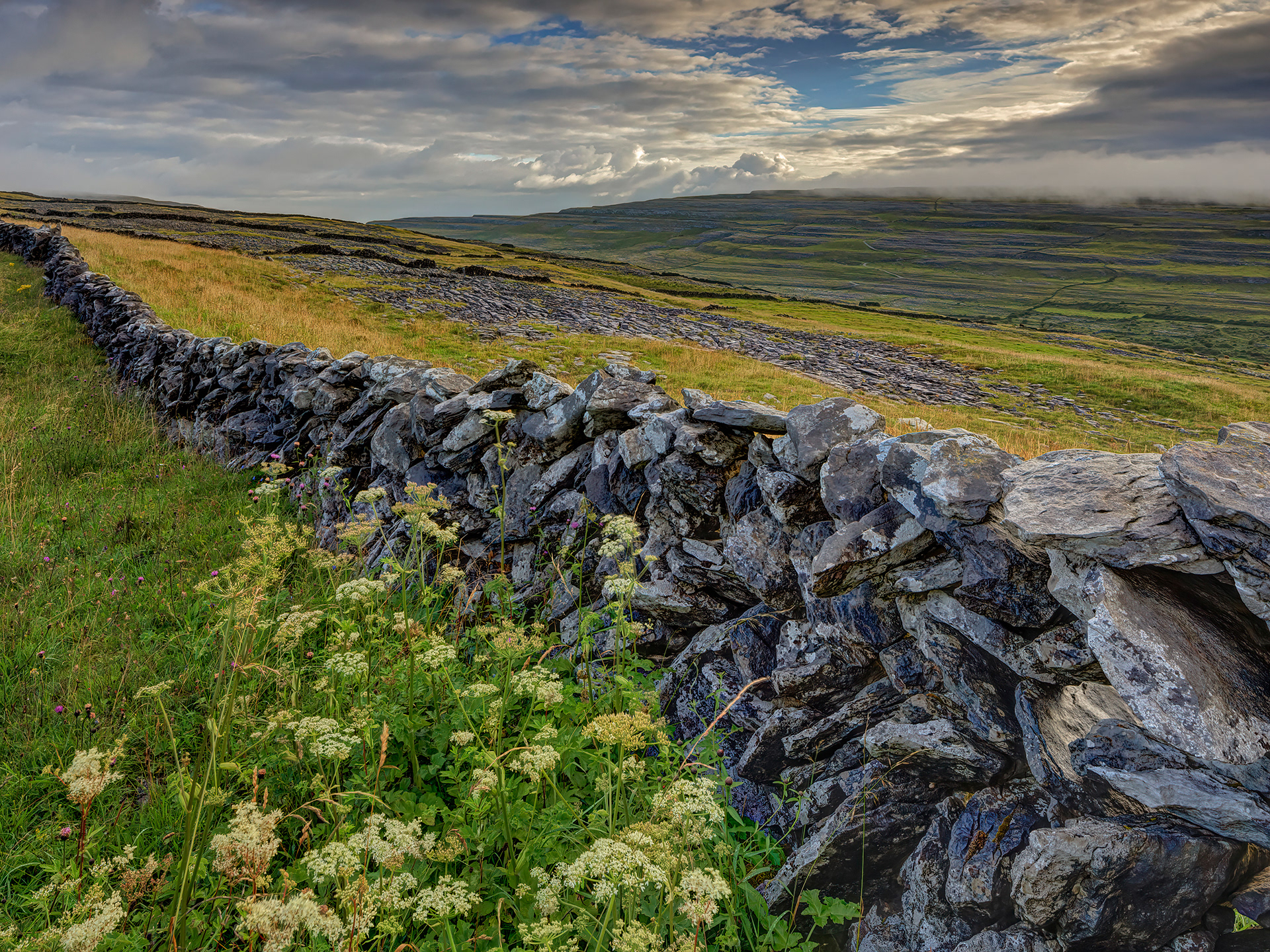
Corkscrew Hill
Oughtmama
Lough Muckanagh
Eagle's Rock
Keelhilla
Burren National Park
Abbey Hill
Castletown
Aughinish
Caher Valley
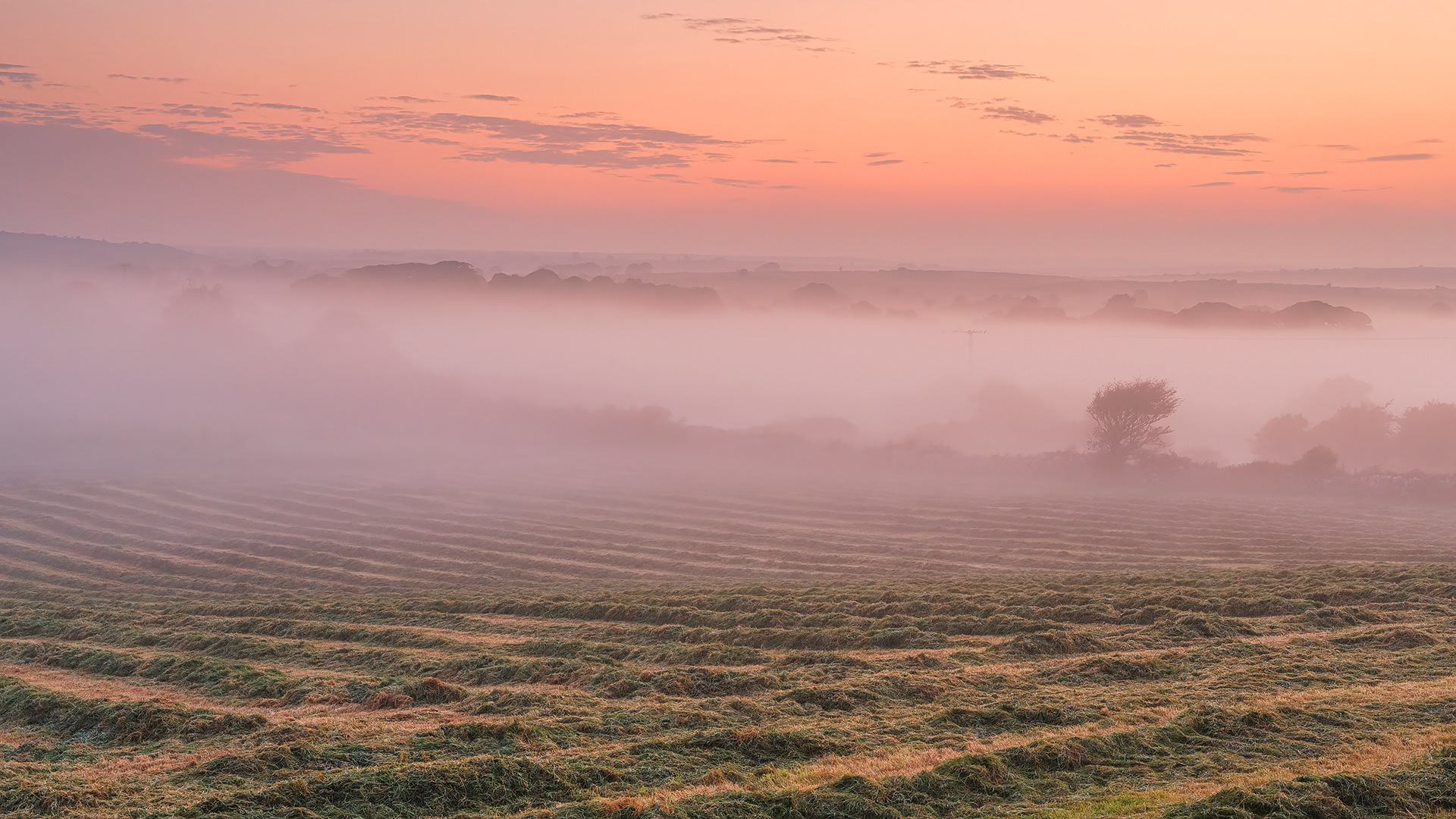
Hay & Mist, Kilfenora
Burren National Park
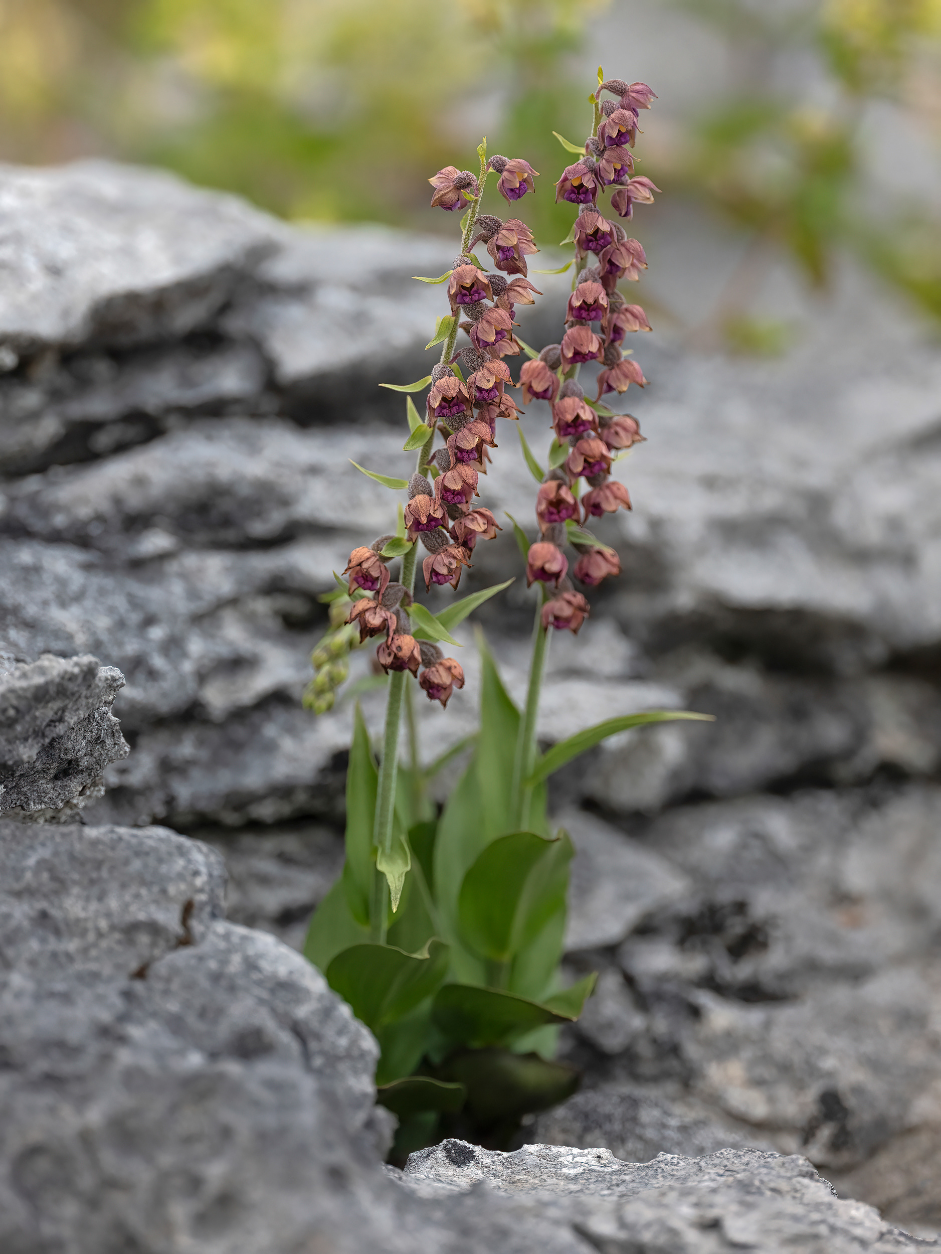
Dark-red helleborine